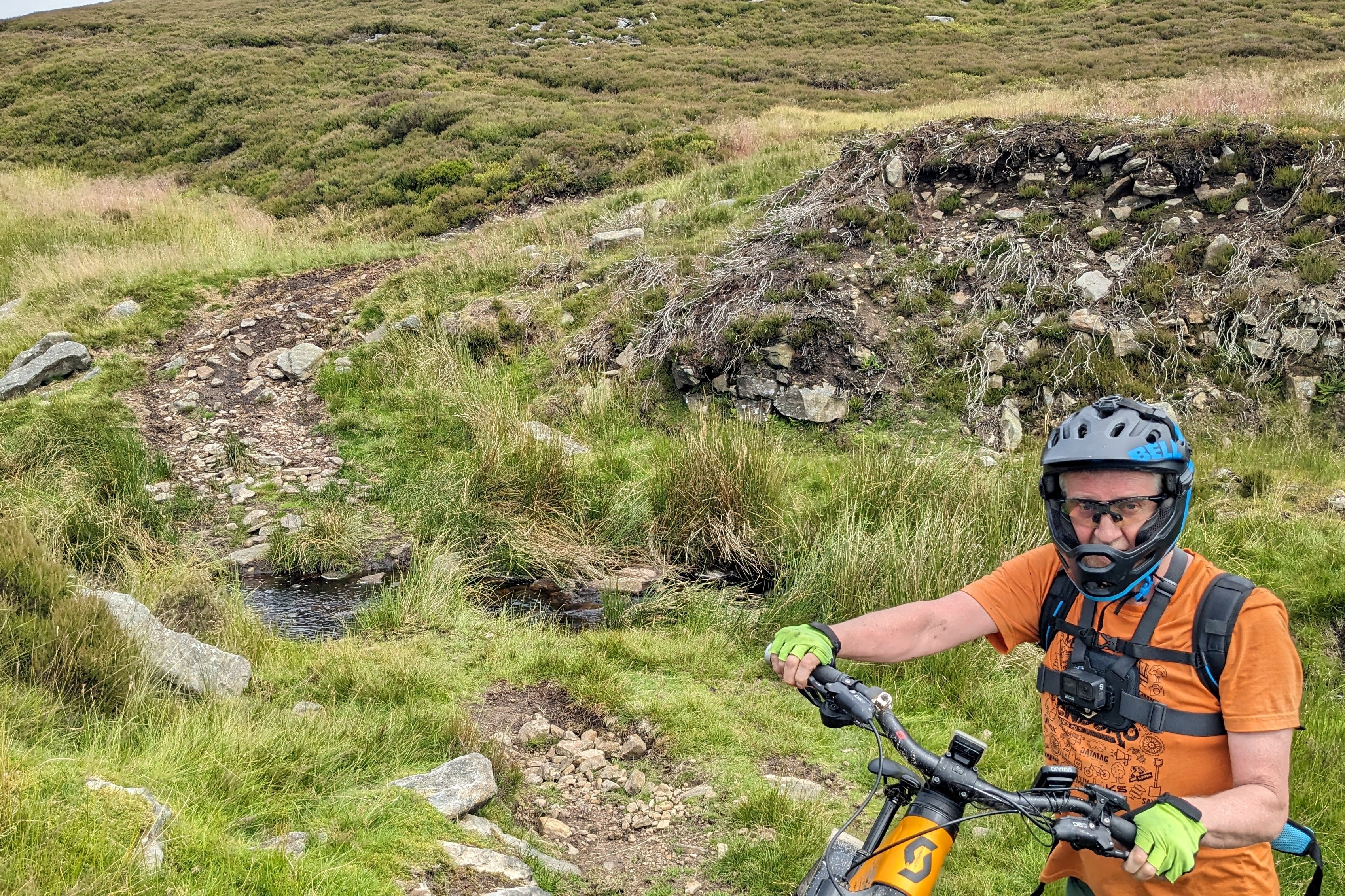
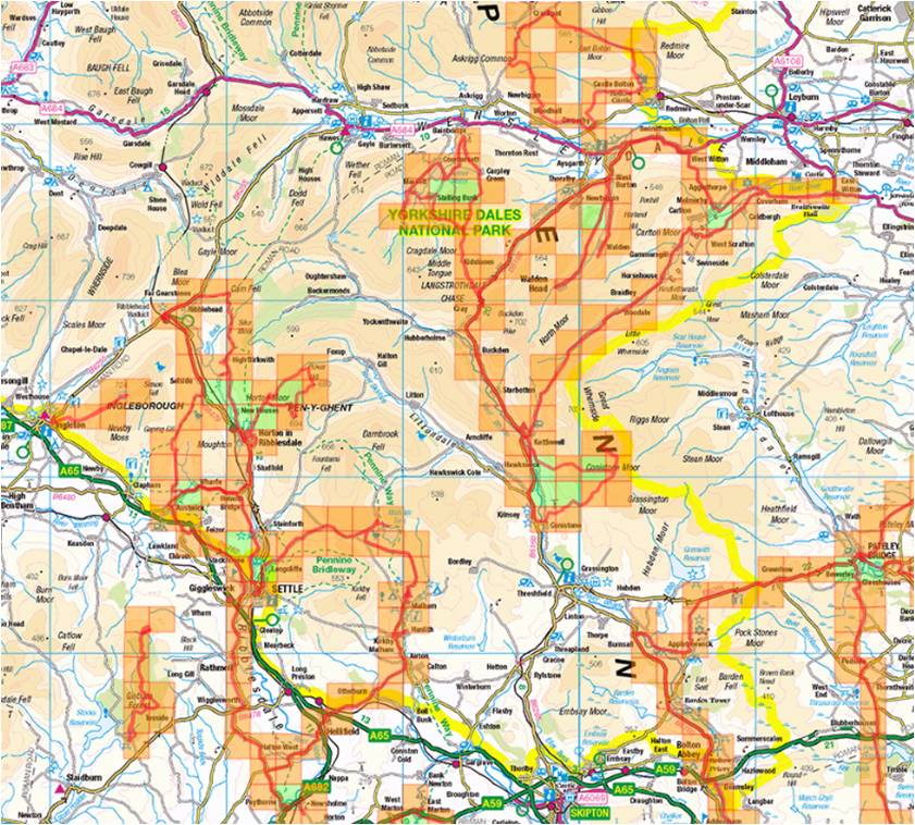
My never-ending search for Veloviewer tiles has seen me on four rides in North Yorkshire in the last few days. The first on Thursday 18th July was on a mountain bike accompanying Michael who has recently been afflicted with the tiling bug. I’m not sure whether it was my fault for introducing him to it, but I think he’s big enough to make these decisions alone now, so I’m absolving myself of any blame.
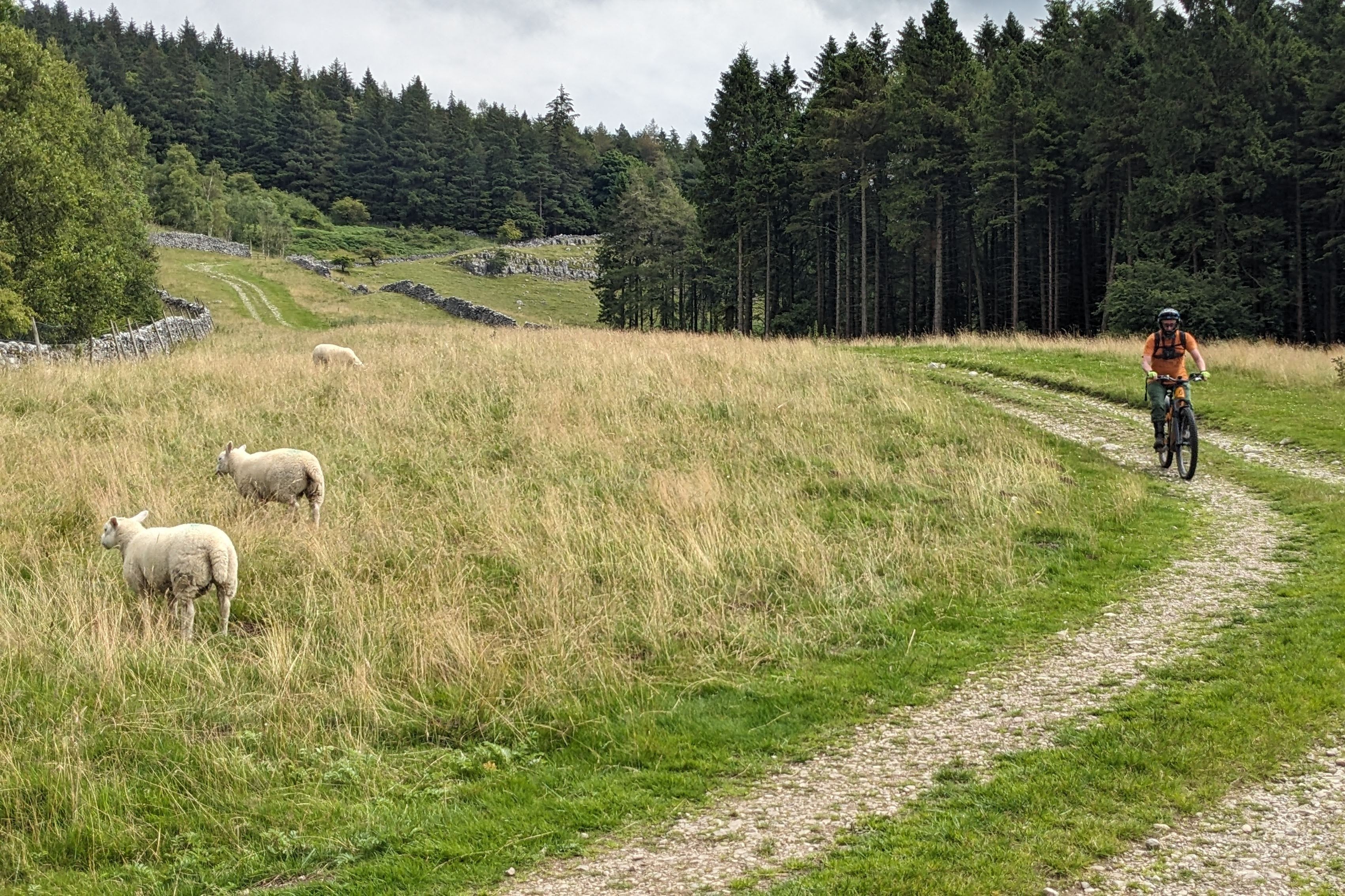
We drove to a convenient lay-by at Skirfare Bridge to start the ride. Michael, I must add, has an encyclopaedic knowledge of lay-bys around the country, to the extent that, should he ever enter Mastermind, I’m sure it would be his specialist subject. From the lay-by, we cycled down the road past Kilnsey before turning off to Conistone where we soon took a bridleway heading uphill. Michael’s rides always seem to begin by heading uphill somewhere, I’ve noticed.
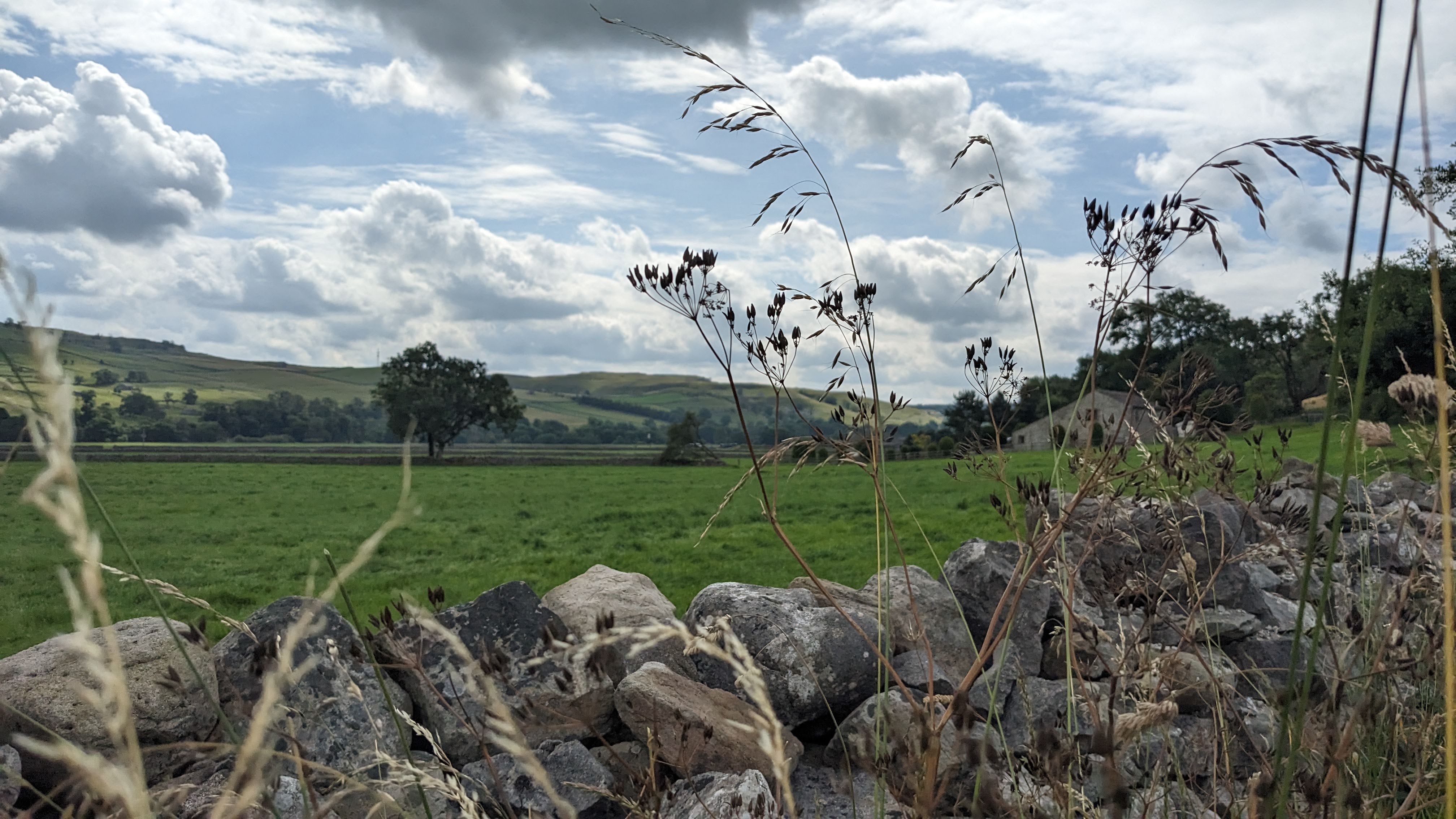

The limestone track had quite a good surface as we continued towards Bycliffe to a point where we reached another track which headed SE to Bycliffe Hill. Here, a very official-looking notice advised us that there was no right of way for bikes just adjacent to a sign boasting about the glory of the open moorland and suggesting the flora and fauna that we should look out for. But only if we headed North. Beside the no entry sign, there was a large information board containing an effusive apology from Cicerone Press, the publishers of outdoor guidebooks, who it seems had told the world of a route over the moor prior to checking that it was a right of way. Once they were told that it wasn’t, they moved quickly to retract the advice. So despite there being a perfectly good path, we decided not to follow that route, but instead continued North towards Great Whernside.


Michael remembered being here before and he was keen to reacquaint himself with a wooden road which he’d often mentioned to me. We soon found it, and indeed it was just as novel and unexpected as he’d described. We were in the middle of a grouse moor, with stone ‘butts’ (as they are called) scattered across the heather-covered landscape so I assumed that the wooden road was to help vehicles access the upper reaches of the boggy moorland.

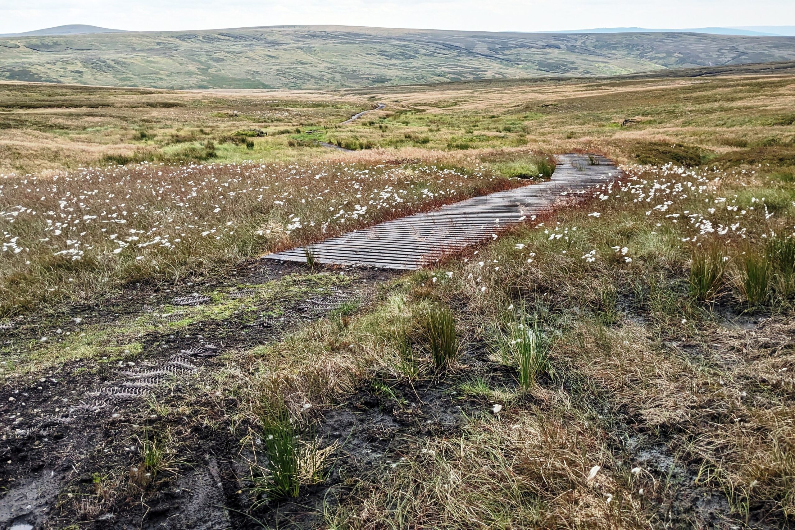
The road itself was just like a very big duck board, a bit wider than a car and recently treated with what looked suspiciously like creosote. (I’ve just learned that despite being removed from sale in the UK 20 years ago, creosote can still be used by certain tradesmen for specific purposes. Treating duckboards over grouse moors must be such a purpose). It was great to cycle up, especially since the gradient was gentle.
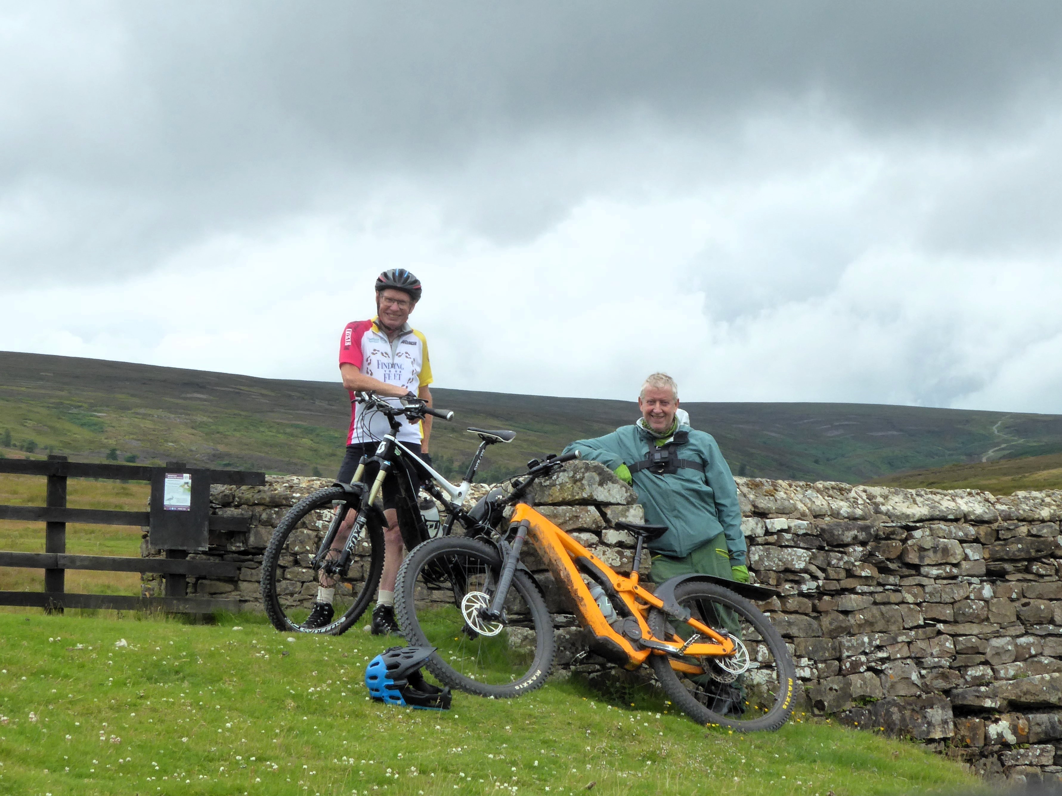
Once the wooden road ended, we were plunged (quite literally) back into the boggy terrain, so we declared it ‘the summit’ since we couldn’t really cycle much further. Michael took the obligatory photo and we returned for a mile down the same route. I descended quite carefully, being unsure of the grip I’d have with knobbly tyres riding on wood but everything was fine.

To see a video Michael created showing the ride up onto the moors, click here.
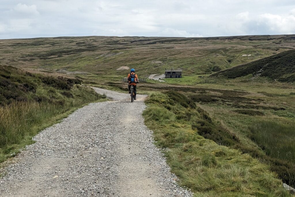
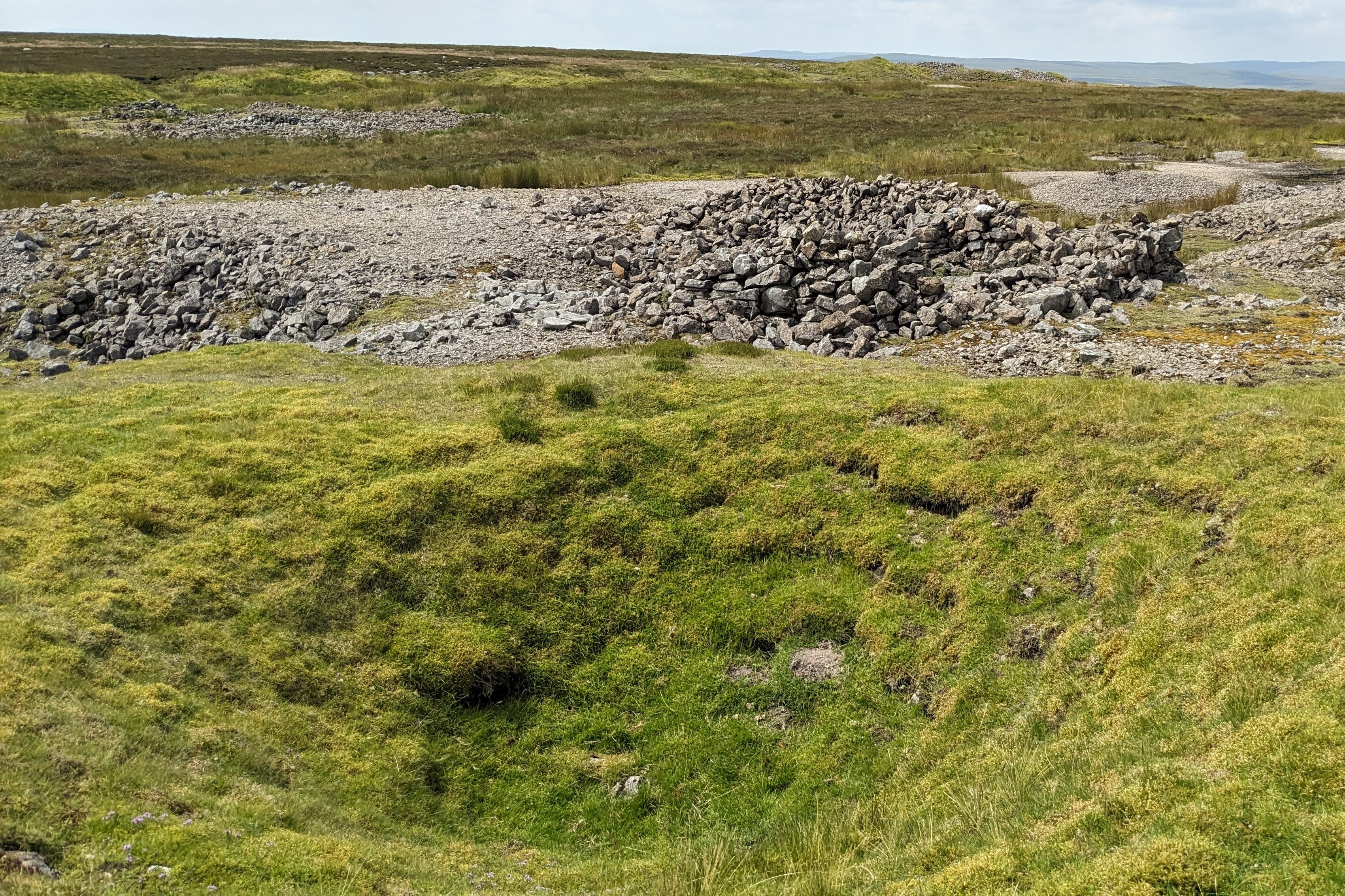
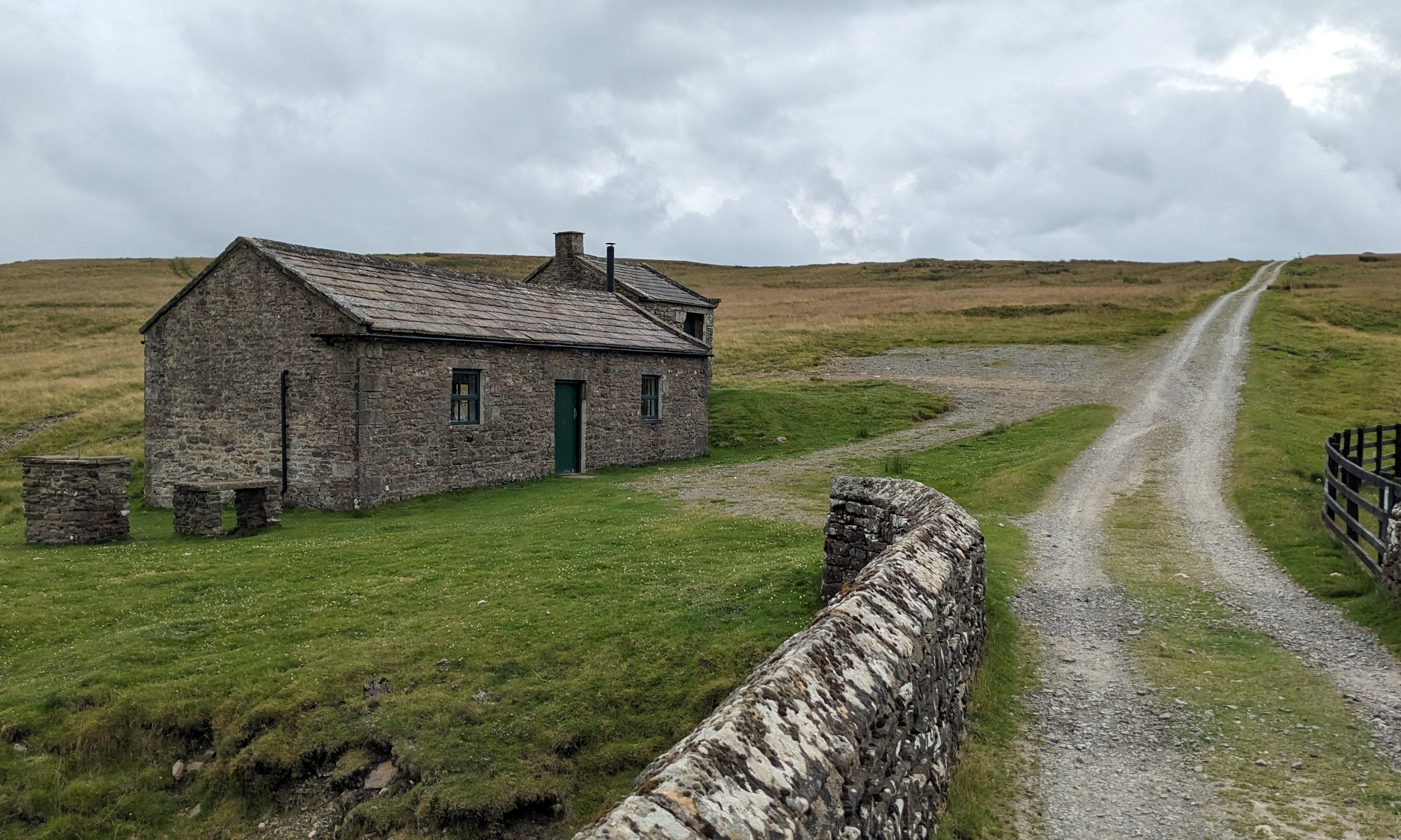
At an incongruous house by a river (it was miles from anywhere, including a road), we turned off to head past some spectacular old mine workings (and several sink holes) before descending on a very serviceable track to join a road near Kettlewell.

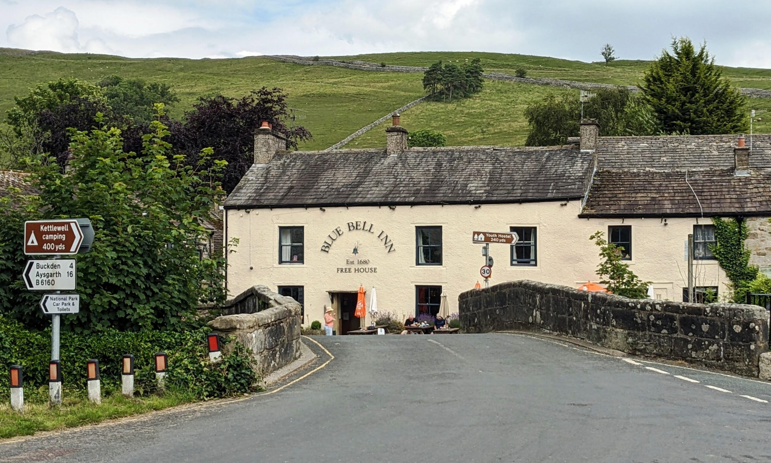
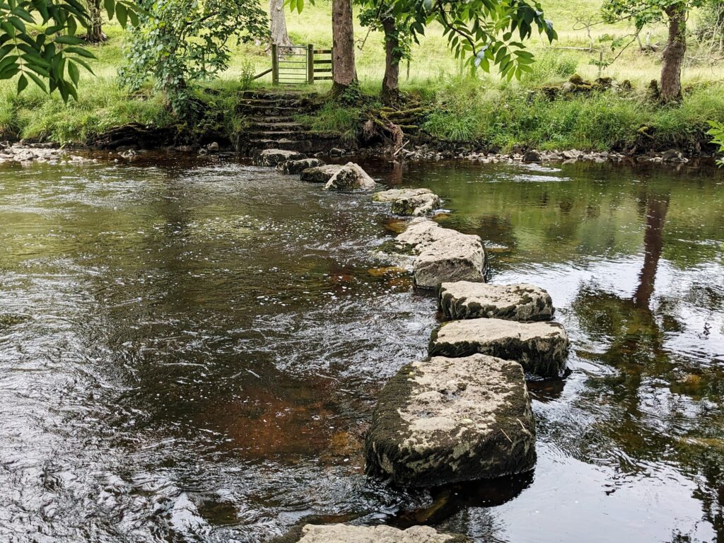
After a short detour to the town, we sought out a cyclable footpath alongside the River Wharfe which crossed the river via some stepping stones. I’d got 3/4 of the way across on the stepping stones whilst carrying the bike until I reached one stone that was tilted at a 45° angle and I didn’t see a way of getting past it without risking a ducking in the fairly fast-flowing water. Michael was all for wading across in his wellies, but the water came to within an inch of the tops, so he reluctantly abandoned that idea and we retraced our tracks to Kettlewell and to the safe (but boring) route back to the van by road.
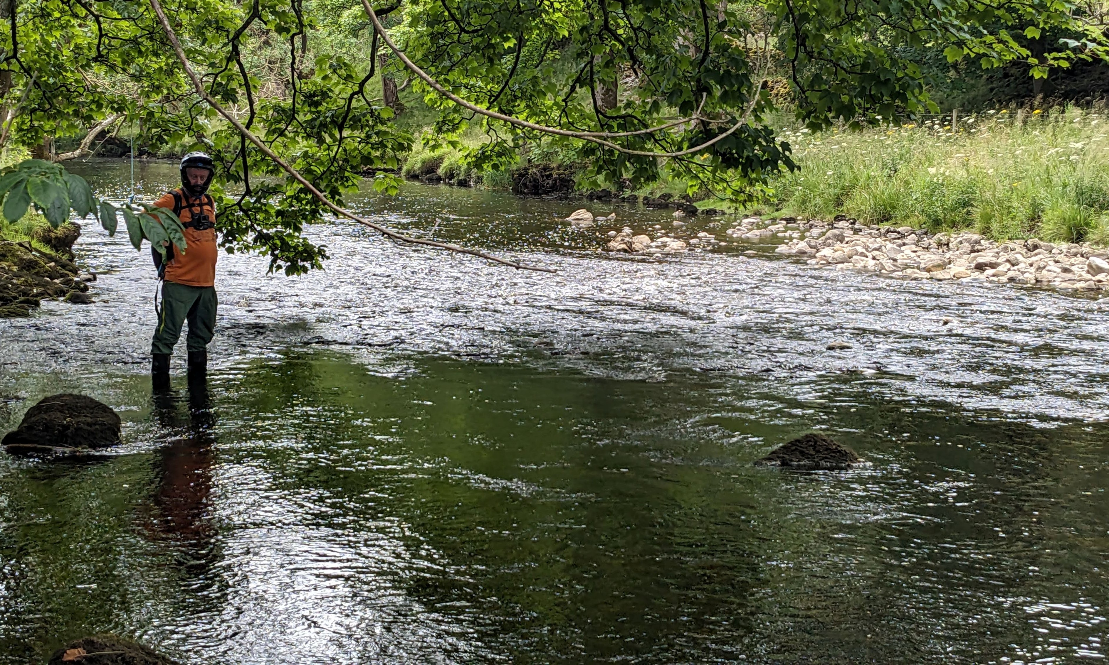
We found a further nine new tiles today, which was one of our goals, so we went home happy that we’d accomplished something.
Sunday July 21st 2024
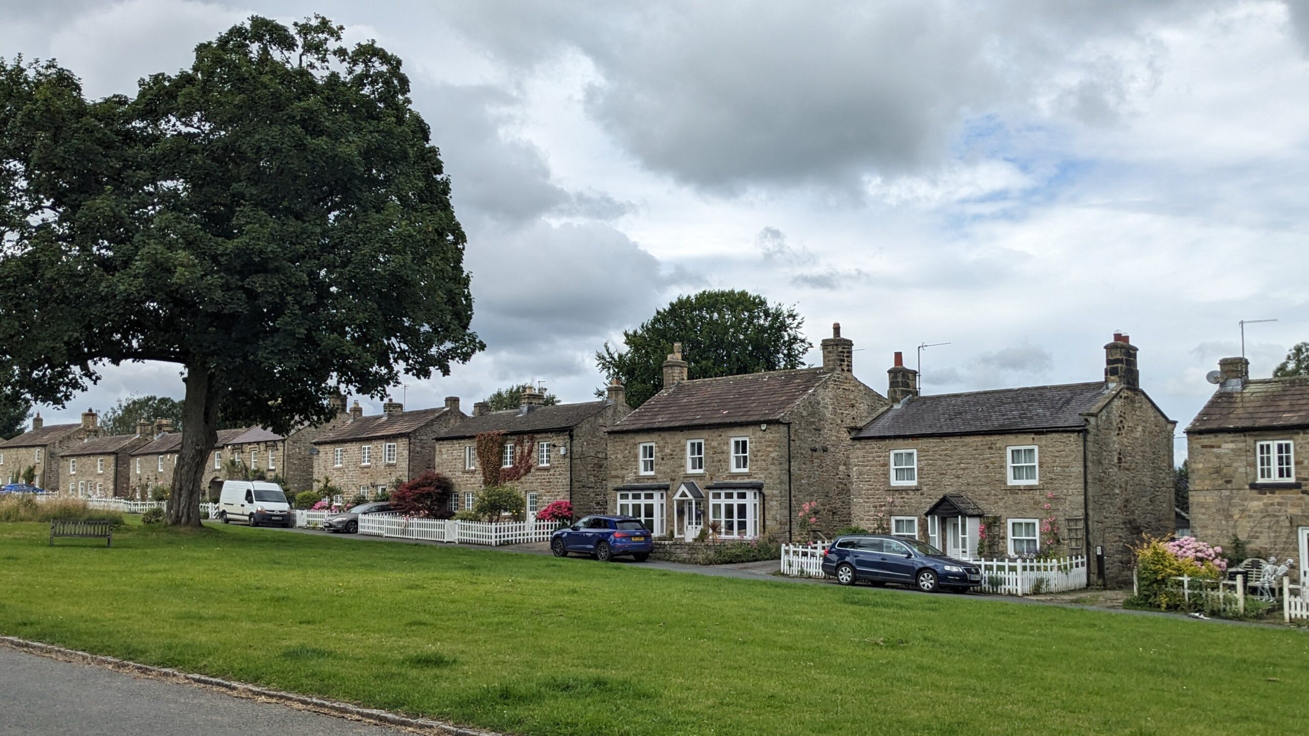
Today, I’m in Buckden again, but this time on a lightweight road bike but still intent on ticking off a few missing tiles. Although I have cycled in this region quite a lot, there is a road out of Buckden heading to Aysgarth that I’ve never ridden, so my first goal was to ride that one. The road climbs steadily out of the village to nearly 1,400 feet before a wonderful descent down Bishopdale to the gorgeous village of West Burton which I was amazed to never have seen before. The village was like something out of All Creatures Great and Small apart from the plentiful cars parked everywhere. I never saw Mr ‘Erriott, nor his modern day equivalent.

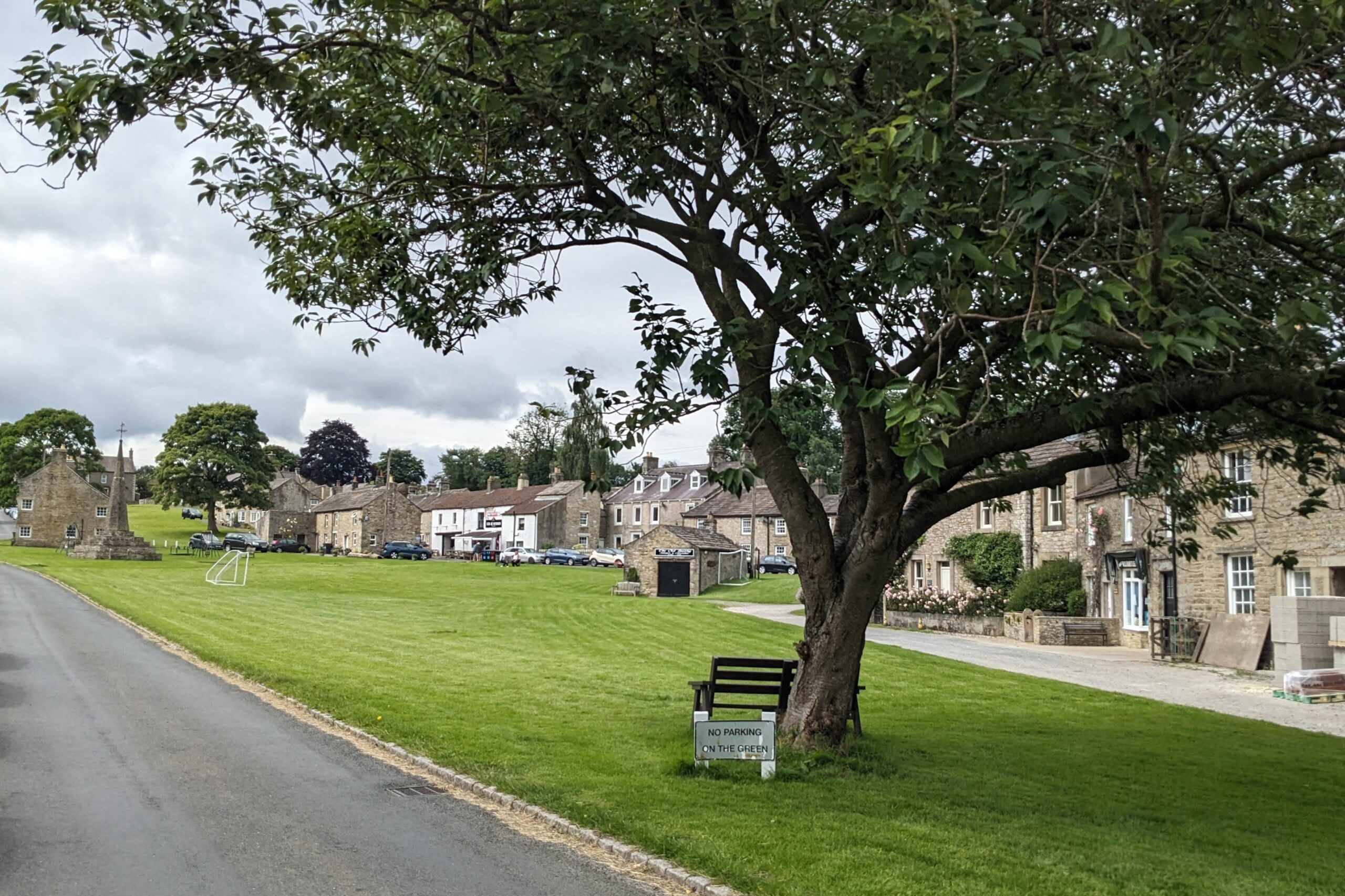
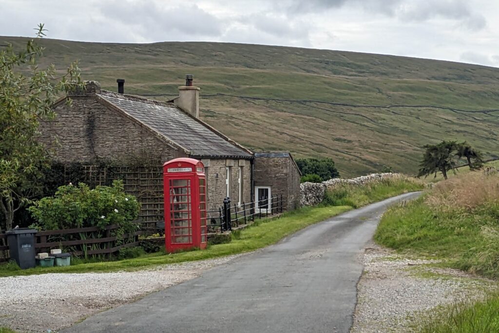

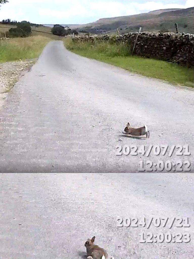
There are two roads heading South out of the village to Walden and Walden Head, both of which are dead ends. Such roads appeal to me since there’s rarely any traffic apart from the occasional farmer (or country vet). Oh, and rabbits. There were lots of rabbits dashing about in front of me. I’m not sure how many lives rabbits have (is it nine, like cats?), but one came very close to cashing in one of them as it dashed out in front of my wheel. I just managed to manoeuvre around it during one descent for which I, and I assume he, was very grateful. There also were plenty of scruffy-looking sheep which were in desperate need of shearing, but I suppose it’s become uneconomic to actually shear the wool off the sheep these days. In addition to the animals, these particular roads also offered wonderful views up the valley so I spent a lovely hour with my own thoughts before returning to West Burton for a coffee and a cake.
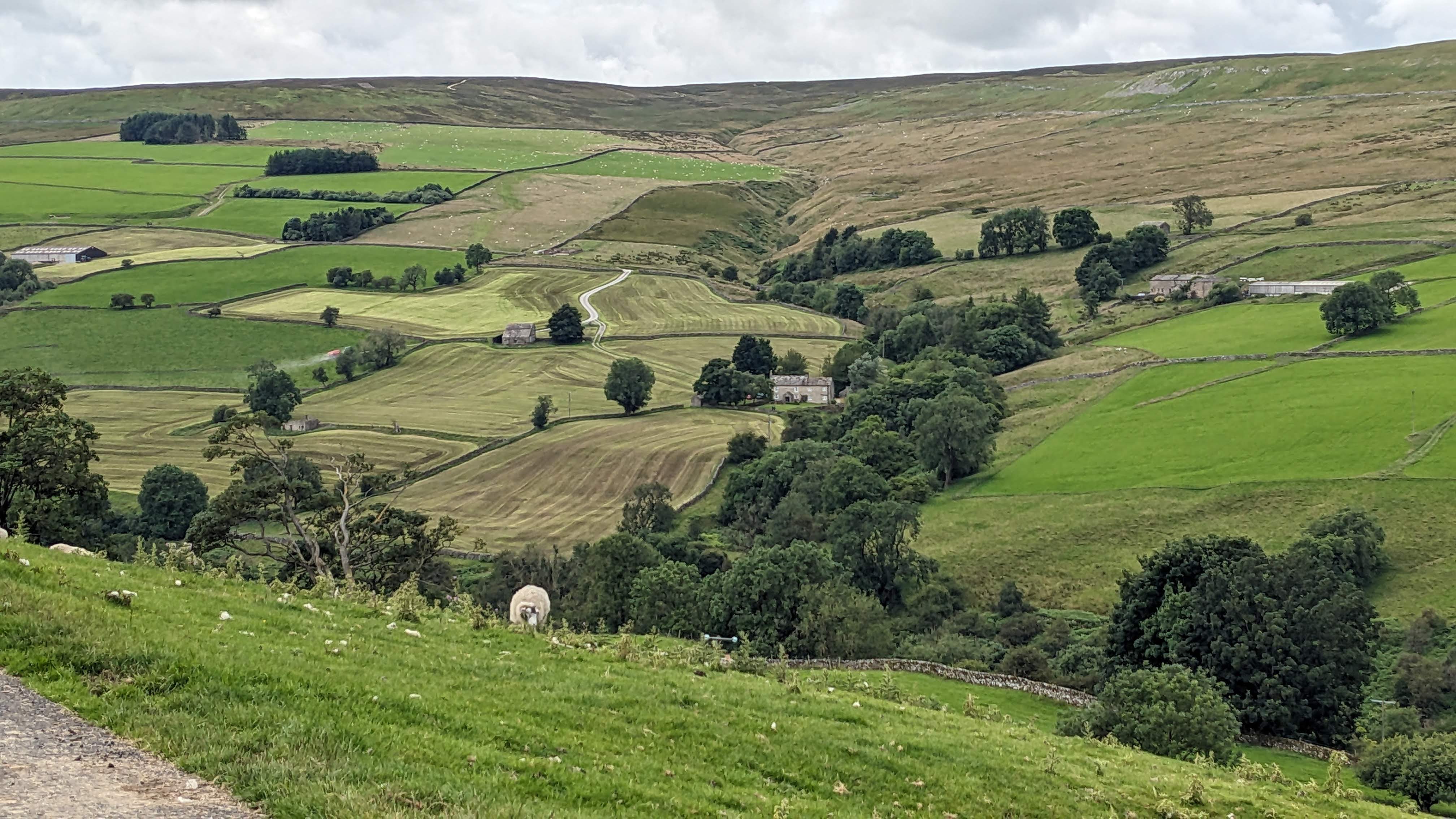
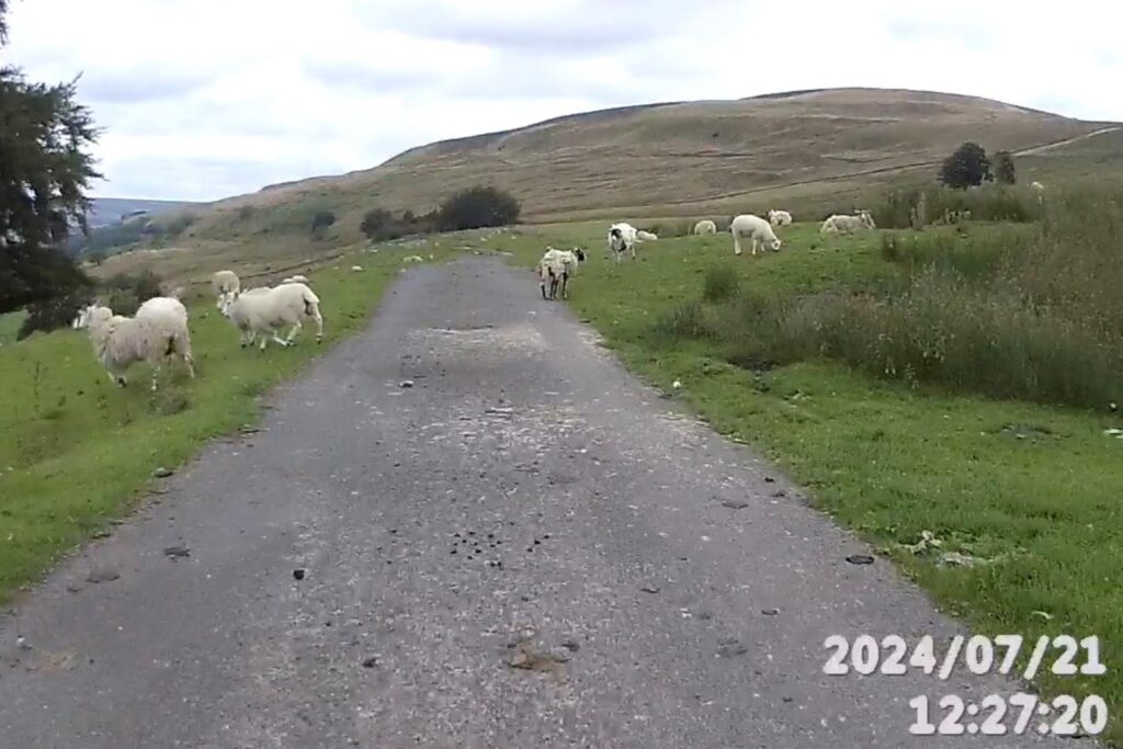
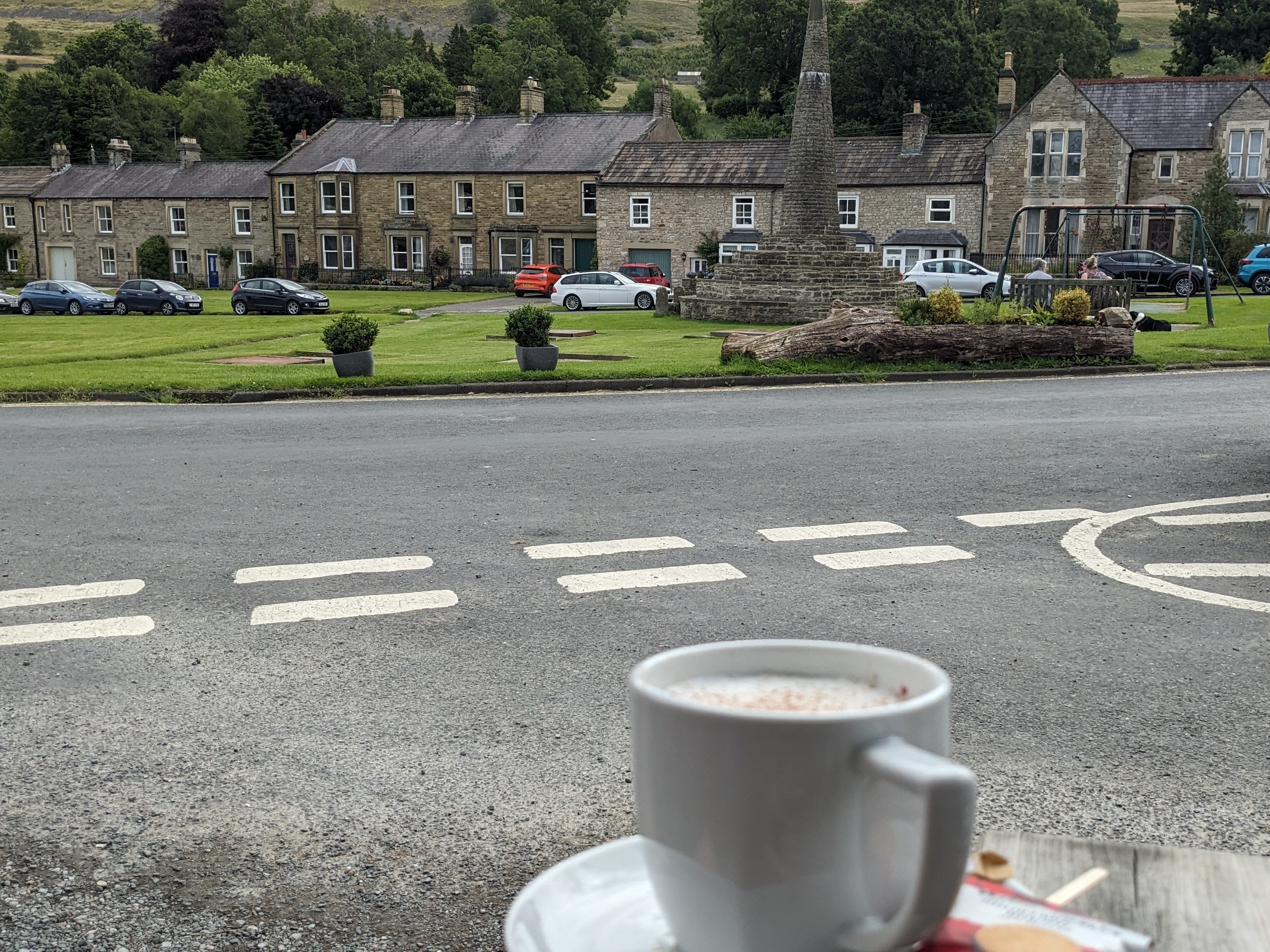
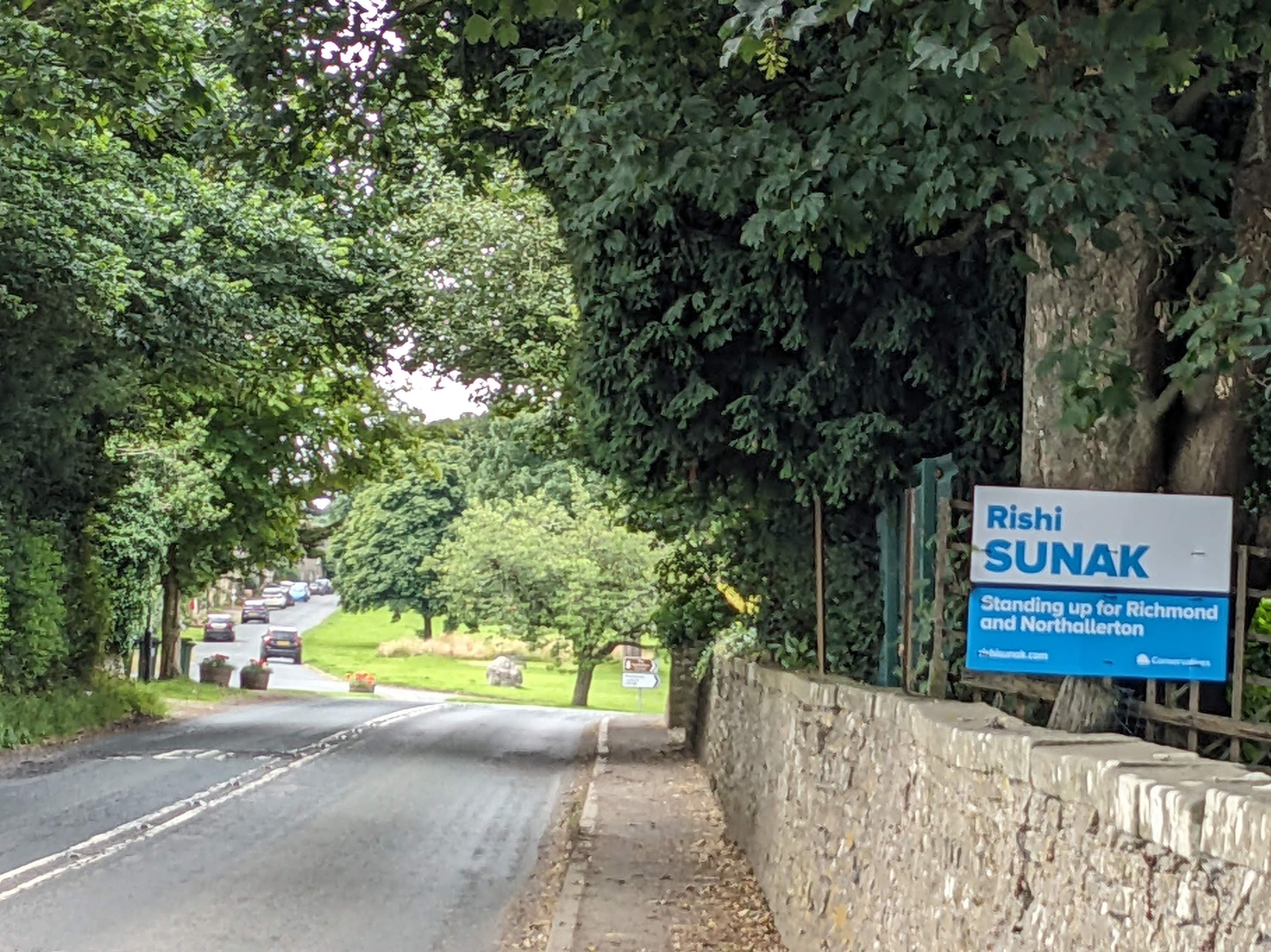
The route today was very hilly, and when planning it a few weeks ago, I deliberately kept the distance short to compensate. However, by lunchtime, I was feeling good, and I had plenty of time to spare, so I devised a slight diversion heading further East. In the villages here I found myself confronted with large signs still encouraging me to vote for Rishi Sunak in the General Election (which was earlier in the month). I only then realised that I’d unwittingly strayed into Rishi’s constituency. I never saw the man.
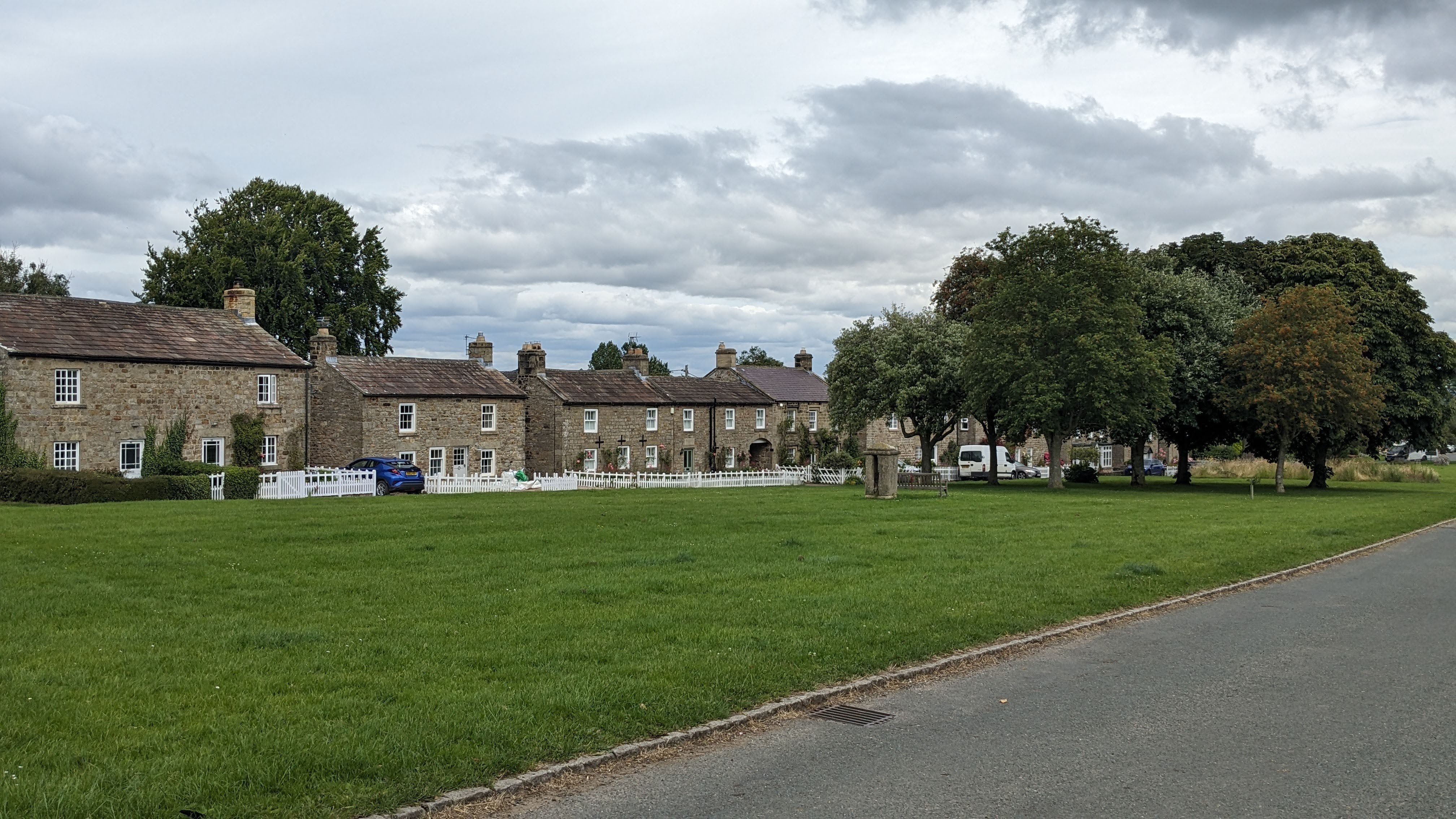
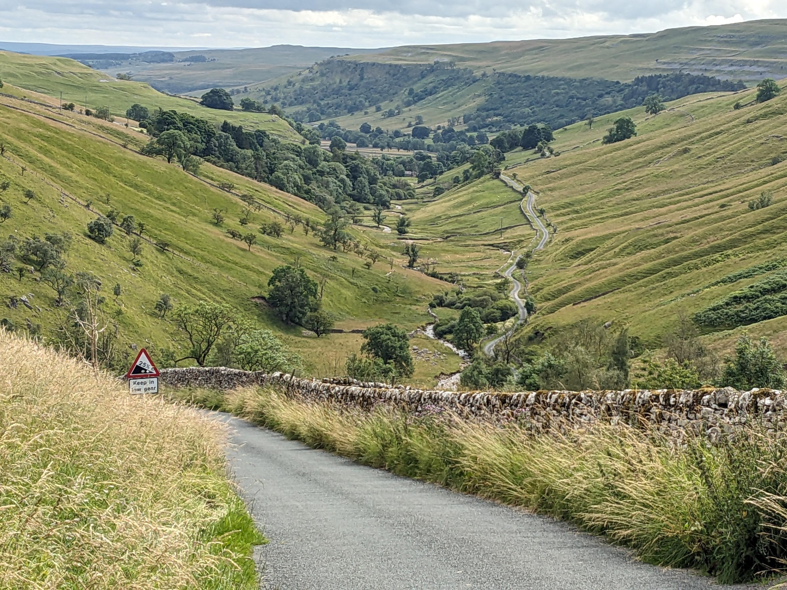
The final bit of the ride was up a seemingly never-ending climb up the Coverdale Valley before swiftly descending Park Rash into Kettlewell. I enjoyed the ride down Park Rash far more than the climb up which I did a few years ago, and it wasn’t just because the views were superior. Then it was just a short, wind-assisted run a few miles up Wharfedale back to my car.
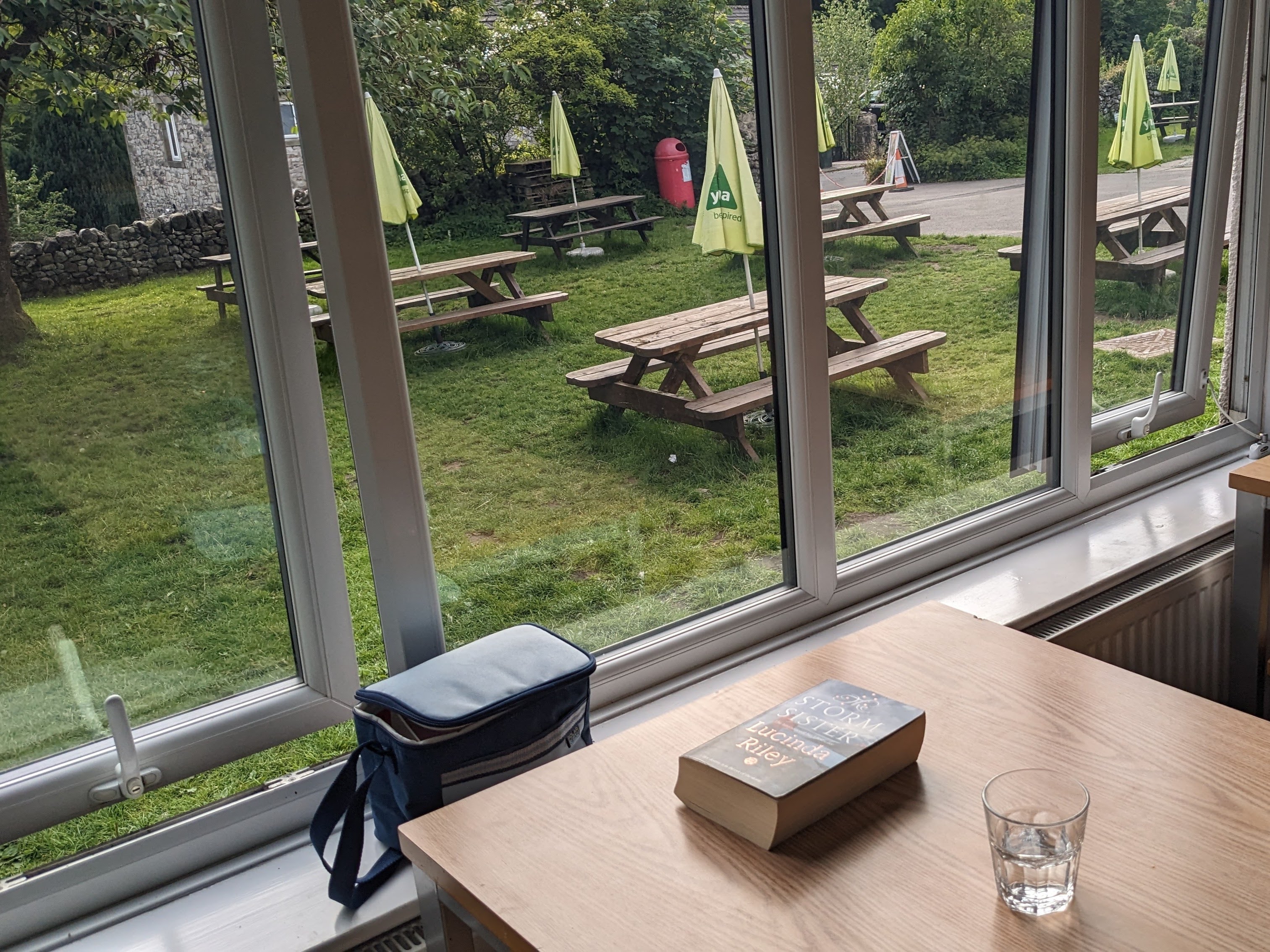
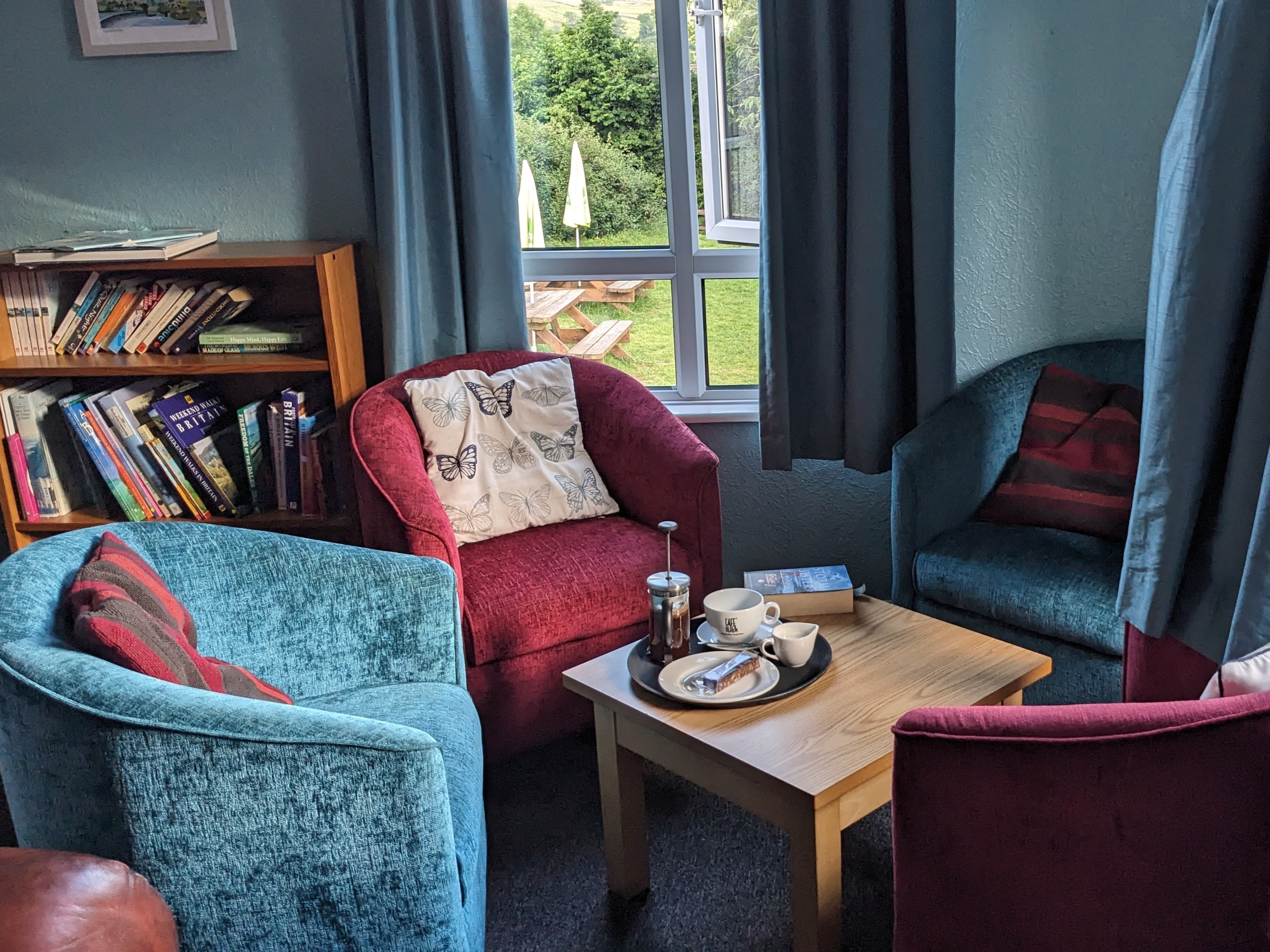
I’m stopping at Malham Youth Hostel which I’ve been to a couple of times before, but I barely remember it. I was allocated a bunk in an eight-bedded room, and I was pleased to see that I was the first in, and even more pleased at half-past ten to find that I was the only occupant! This was remarkable for a weekend night at the start of the school holidays. I was self-catering tonight, and after a quiet meal (only me in the dining room) I read my book for a couple of hours before turning in.
Monday July 22nd 2024
I woke up to rain this morning which, although expected, was still unwelcome. I left my car at the hostel and headed out on another very hilly ride, although the hills today only really began in the second part. The weather changed constantly, from drizzle to rain, then brief sunshine before back to drizzle. It was warm too, so when it wasn’t raining it was too hot for my rain cape which I was removing and putting on again all morning. It was only after yet another spell of rain that I decided I’d had enough and would cut the ride short by not crossing the fell into Littondale and back to Malham in the last few miles.

Once that choice was made, I decided to have lunch at a café in Settle before heading back to the car. Of course, then the weather brightened up and I began to think I’d made a mistake, but when I got to the café the rain started again, vindicating my decision. I ate my scone inside whilst waiting for the rain to stop and I almost made it back to the car in the dry. It was fine at lower levels, but became misty and drizzly again over the tops, so I was rather soggy when I reached the hostel.
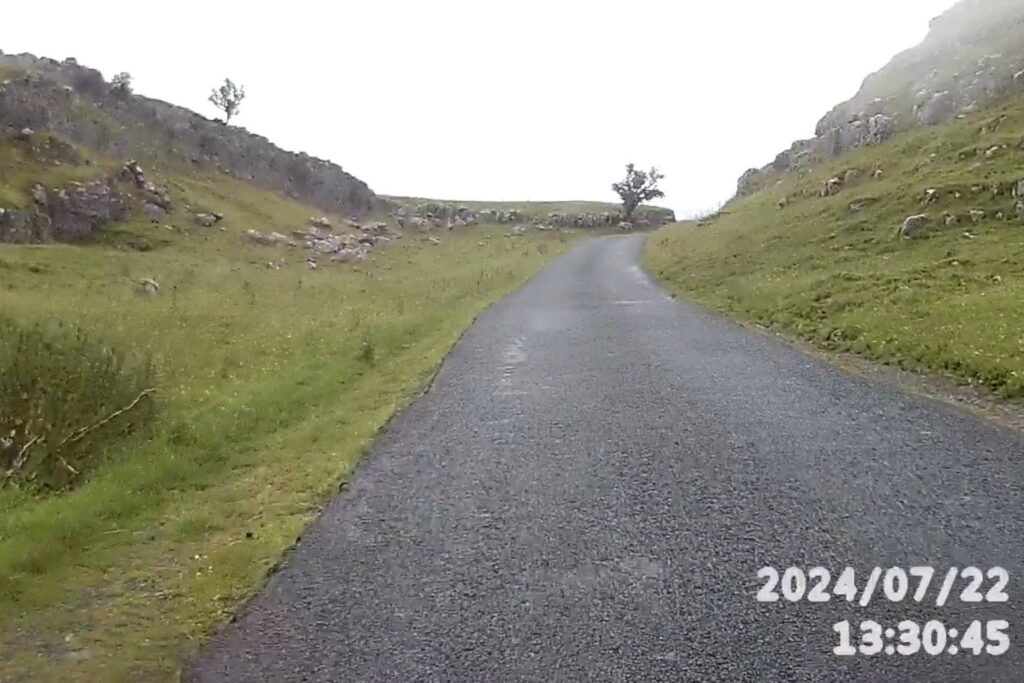
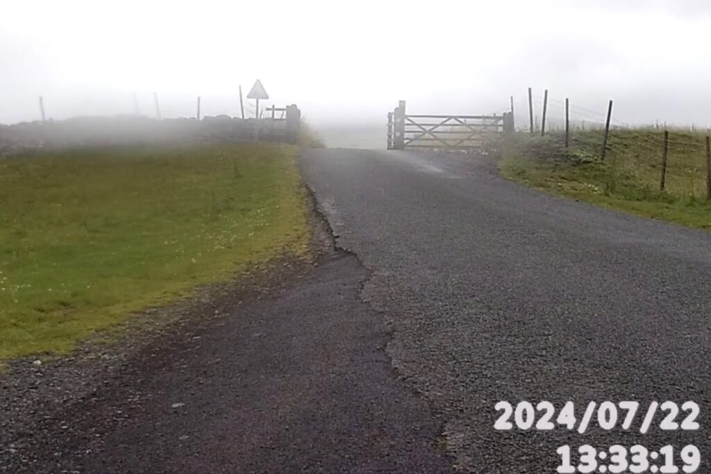

I took very few photos today, partly because of the rain, but also because I’ve cycled here before and the scenery wasn’t all that special. The rain necessitated removing my video camera from the bike so I couldn’t grab any stills from there either. Although the camera will survive a shower, heavy rain makes it mist up and I’m sure there would be no end of drama if it got water into its electronics.
Overall, I covered just over 100 miles in the two days but climbed almost 9,400 feet.
Thursday 25th July 2024
Today, I’m up near Aysgarth and on a mountain bike again. The plan today was to complete a loop from Carperby, crossing the East Bolton moor along the Apedale drover’s road from Castle Bolton. In the end, though, we chose a similar route but headed clockwise, initially along Oxclose Road out from Carperby. Finding the path was fairly easy after taking advice from a very friendly farmer. I anticipated trouble when he began by saying that the path should never have been designated as a bridleway, and I was expecting to be told I shouldn’t be taking a bike up there, but what he was referring to was simply the number of gates. He said there were seven in a short stretch climbing away from the farm. He had a gift of understatement, though; I must have passed several dozen gates overall today.
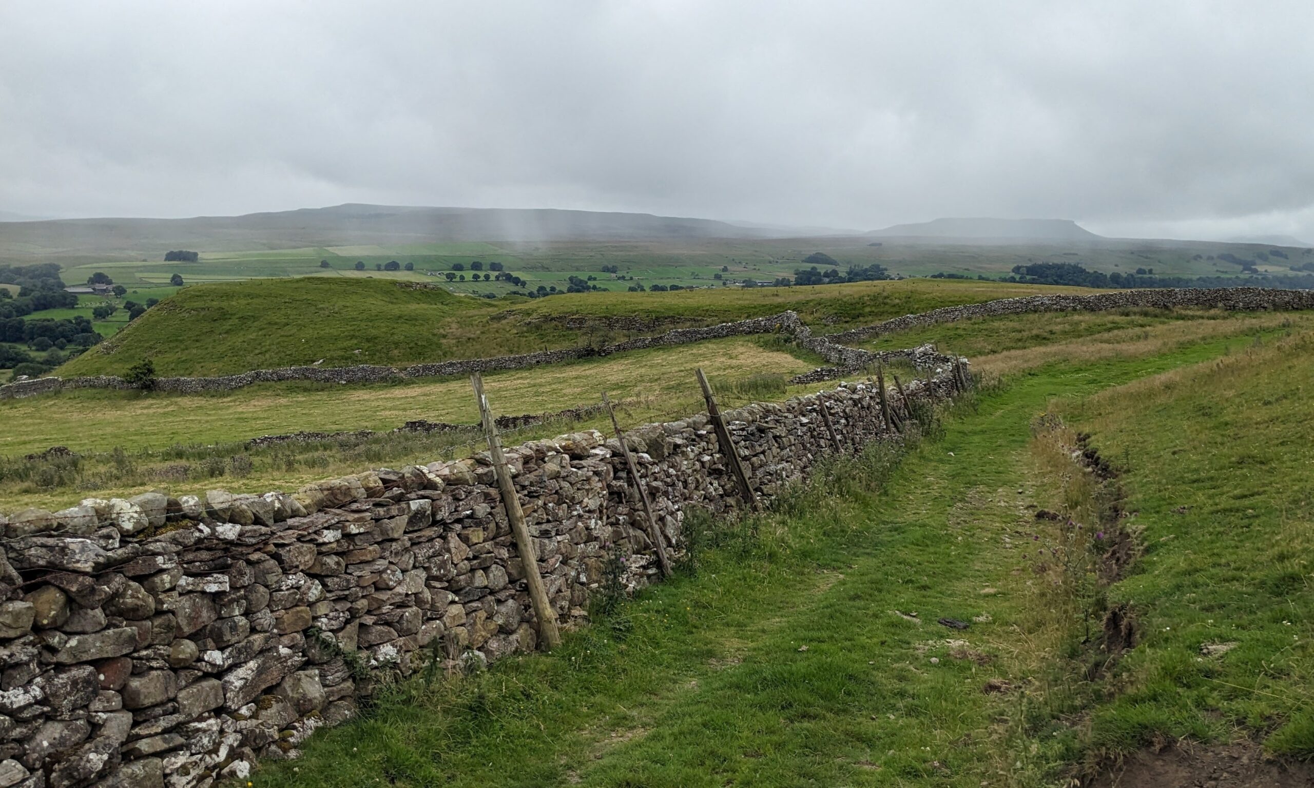
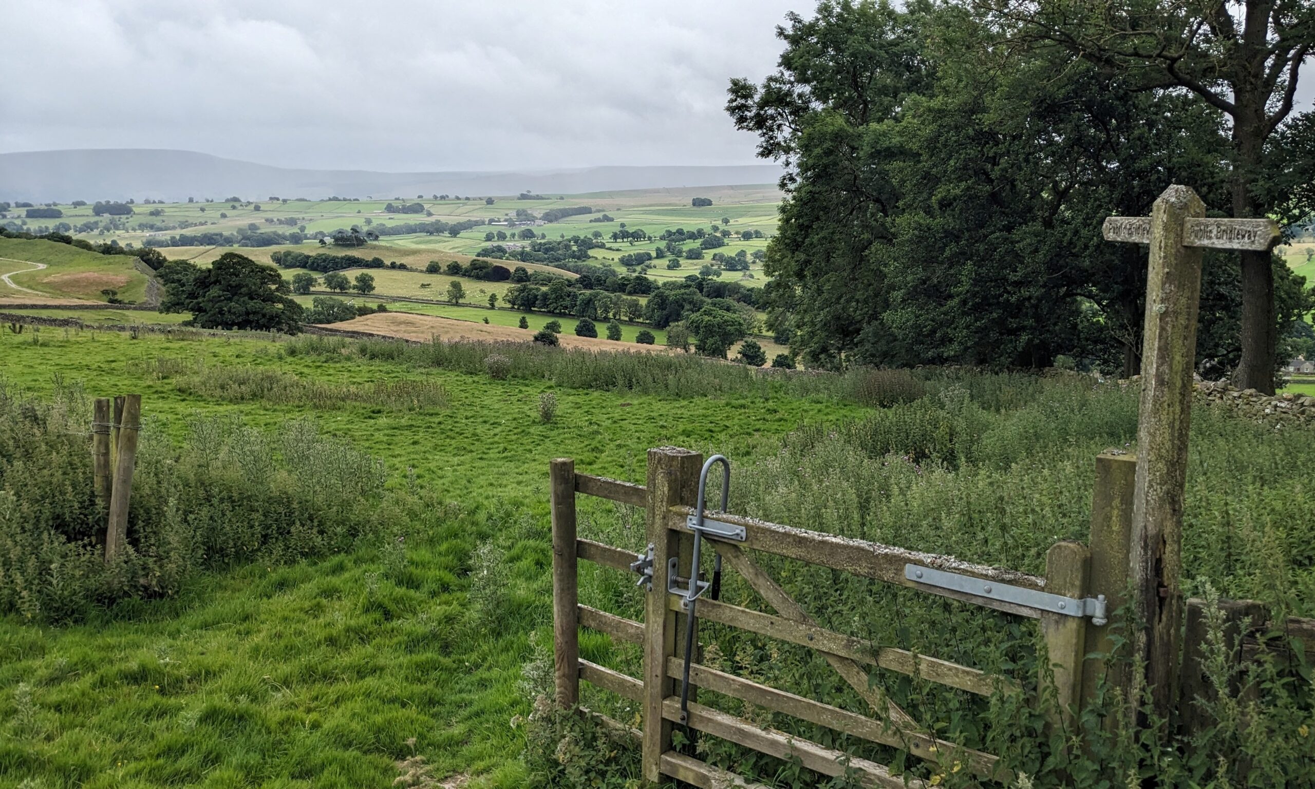
The ‘track’ was usually no more than a bit of flattened grass with the occasional rocky stretch and as it headed North onto the grouse moor it deteriorated to a foot-wide path deep in the heather which could easily be overlooked. When the mist came down as we climbed further onto the moor, it became very difficult to spot the path and at one point, it couldn’t be seen at all. I navigated by dead reckoning for quite a while before finding a fence which I knew from the map was beside the track.

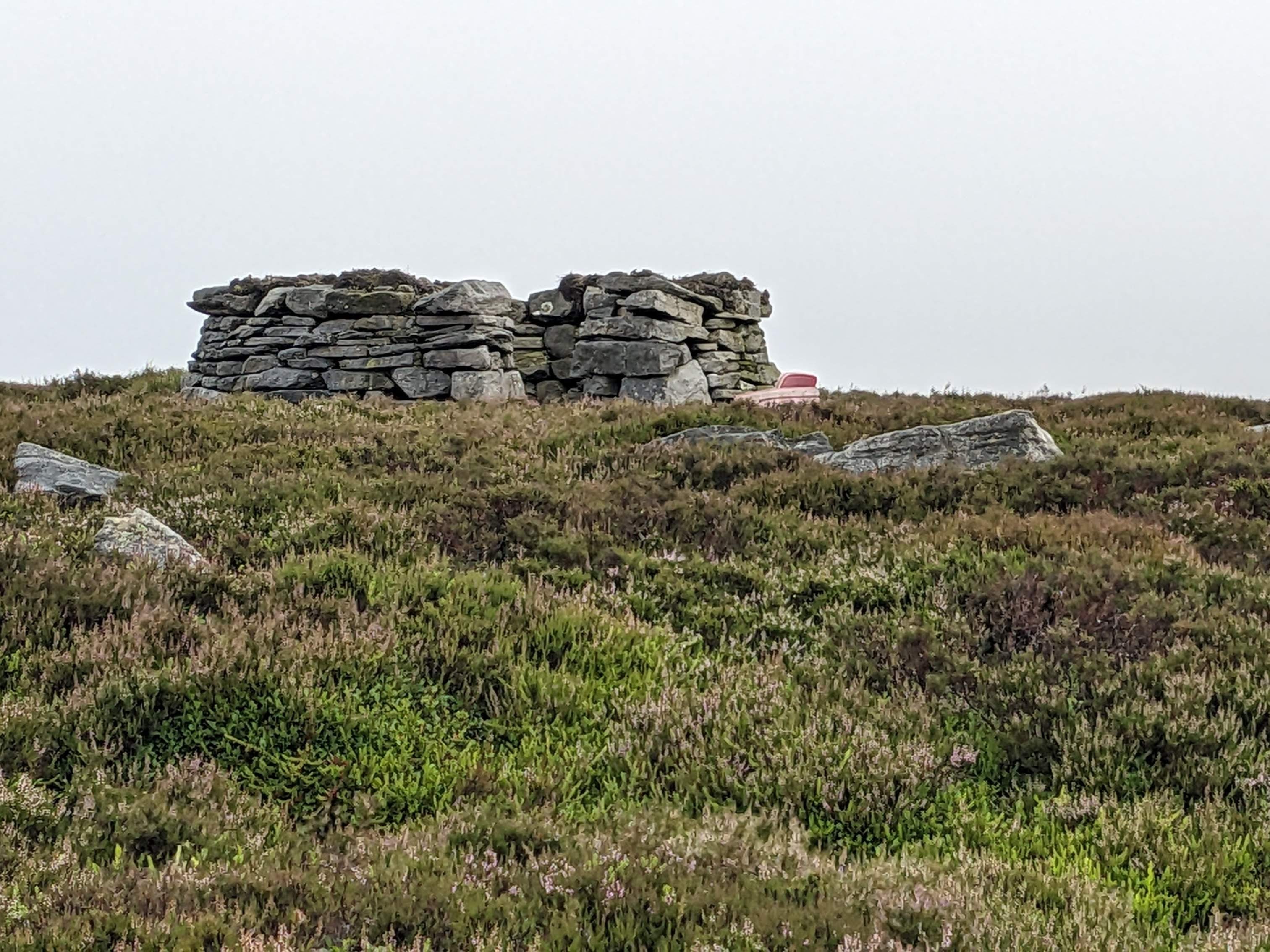
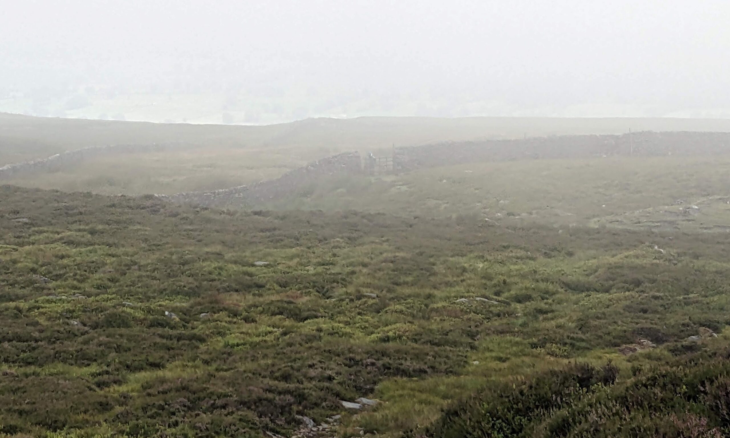
When it wasn’t misty, I was pleased to see that the heather was just coming into flower and the whole moor had taken on a beautiful mauvy-pink tinge. The occasional grouse flew up from the ground as I passed, and I longed to tell them to stay put: in a couple of weeks’ time, breaking cover is the last thing they should consider doing.
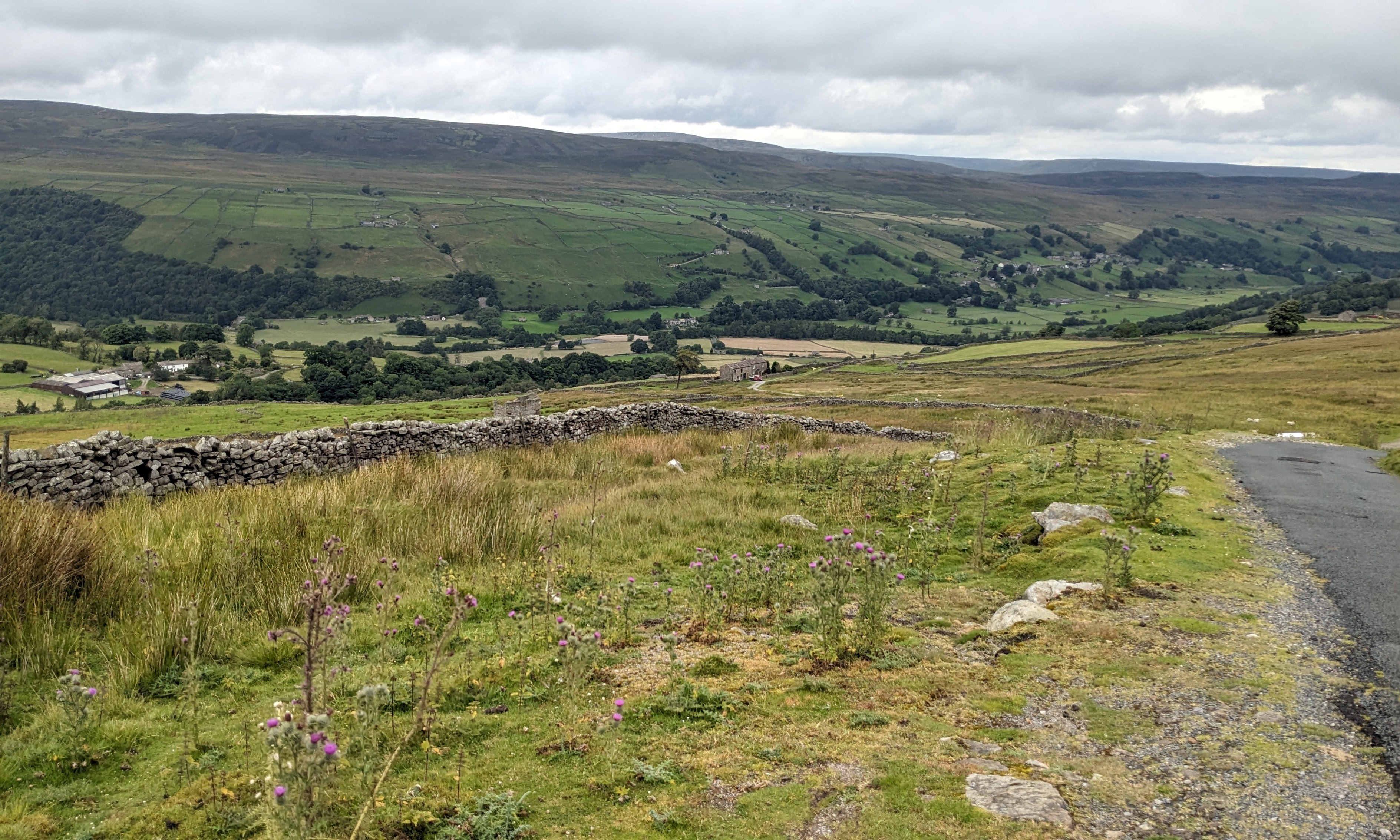
After quite a steep descent on very rough ground, I reached a tarmac road (bliss!) which I followed as it descended towards the delightfully named village of Crackpot. Here I turned off heading East to climb up a drover’s road. Of course, this was payback time for the lovely tarmac descent earlier: I climbed back up to over 1,800 feet on a rough gravel track passing old lead-mining sites. Beyond the summit, I enjoyed a great 3-mile descent dropping 1,000 feet into Castle Bolton.
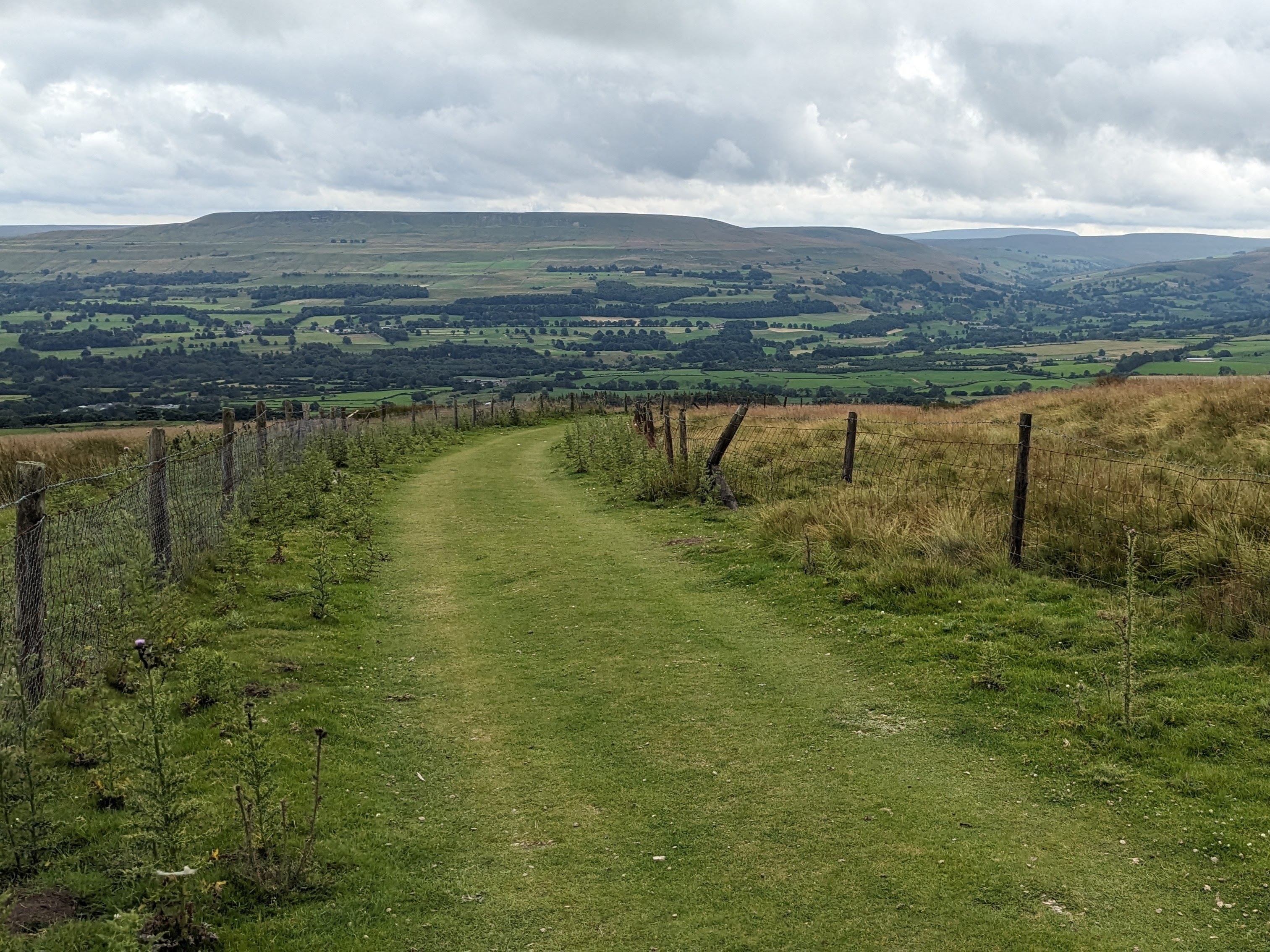
Although the descent was very welcome, the surface certainly wasn’t. I passed though a gate (of course!) and joined a beautiful path of green sward which looked so inviting after the heather and rocky paths I normally endure. All wasn’t what it seemed, however, since the path, although very attractive, was extremely bumpy and couldn’t realistically be traversed at anything above 10mph.

Once we arrived at Castle Bolton, we didn’t stop to admire the castle (called Bolton Castle, interestingly), since Michael had a deadline to meet in Chorley, so we continued along a track back to Carperby and a swift drive home.
Today’s trip was only 16 miles but in climbing over 2,100 feet, it made it one of the hilliest rides I’d ever done; of recent rides, only Pen-y-Ghent and Ingleborough had a greater climb rate. This helps towards my annual target of climbing over 100 kilometres in the year, but plays havoc with my average road speed.
One reply on “54. Good tile hunting”
Maybe have a Tarmac and an off road average speed.