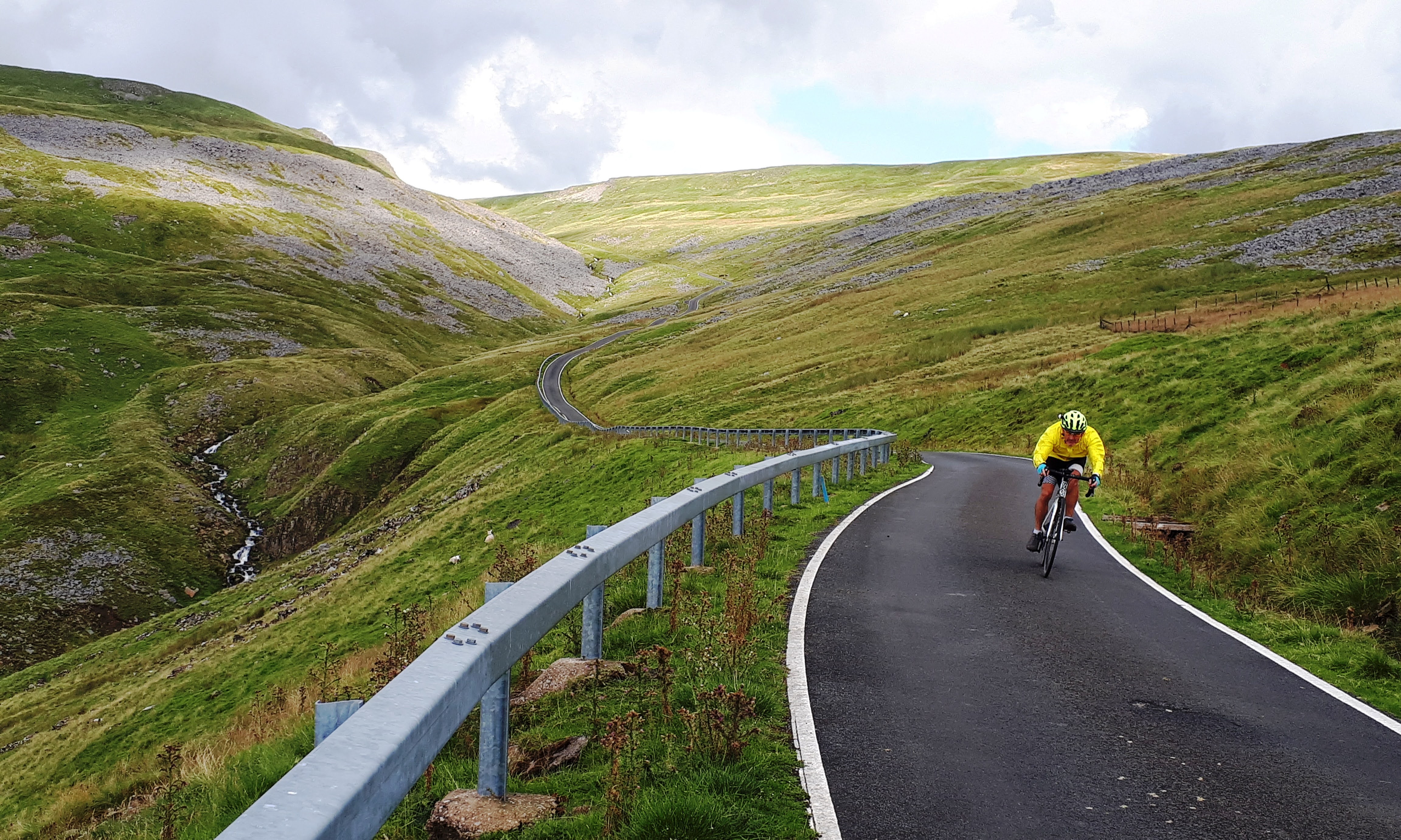
I usually write a short account of any cycling trip that I take, but not usually for day-rides. However, my friend, Jim Solan, who accompanied me on this ride up Britain’s highest paved road. So below, is Jim’s account of that ride on 13th August 2019. (Jim’s a better writer than me, so I hope you enjoy it.)
It’s what?
The highest road in Britain you say?
And the hardest to ascend?
And it’s traffic free?
On a quality road without potholes?
And it’s only an hour away?
Yeah, OK then. Sounds perfect.
This is the one that Simon Warren, in his series of books documenting over 500 British climbs, describes as “the single greatest ascent in the whole of Britain”. Of all the climbs, he urges you should give This One a try. Simon ranks all the climbs between one and ten where one is “Hard” and ten is “It’s all you can do to keep your bike moving”. Great Dun Fell is given a rating of 11. I love/hate that bloke.
The road only exists at all because, at the summit, there’s an Air Traffic Control tracking radar station, which passes data from the UK’s two other main ATC stations in London and Prestwick. If you ever pass the Lakeland’s Southern Fells on the M6 going to the Scottish badlands, look to your right and on a clear day you might see the huge golf ball that covers the radar. It looks tiny. It isn’t. Like Father Ted’s cows, it’s just a long way away.
The ascent is via a private (government) road. From about a third of the way up, it has a barrier to prevent cars from using the road – but not bikes, cos we’re special. Hahahahaaa! This means no traffic unless the maintenance guys are working up there. And today, as most days, they were not. Yarrooo!
The climb ascends to 847m/2780ft, so is higher than the summit of Coniston Old Man; more than five and a half Blackpool Towers, or more than five hundred of me even when I’m in my Showaddywaddy shoes.
The height of the thing is not what makes it so difficult though. I’ve ridden climbs in the Dolomites and Alps that are twice, three times higher, and that take over two hours to ascend. But those alpine roads are engineered to minimise the steepness of their gradient, usually between 7 and 8% and very rarely more than 9%. We don’t do that in Britain – we seem to have had the attitude, “Pah, it’ll be alright, we’ve got Land Rover”.
So, like so many roads in this fair isle, this one has several parts with gradients of 17-20%. And, unlike me, long parts too.
Bernie and I have had our eye on Dun Fell for a while, but have been put off a few times by other events and weather issues – as you can imagine, fine weather on the coast and in the Lancs lowlands does not equate to the same in the centre of the highest part of the Pennine range. Even today we saw a couple of heavy downpours, albeit for one we stayed in the café and spent a bit longer over scones and tea, wondering if we’d have to return another day – descending this beggar after rain is not recommended at best, stupid and dangerous at worst.
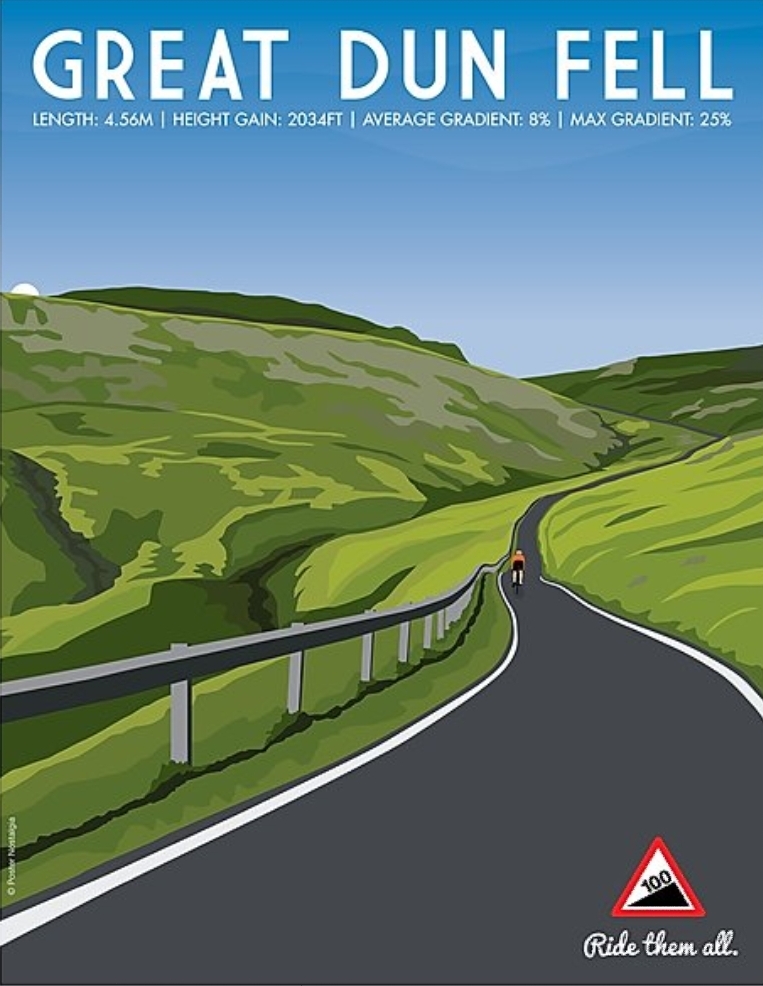

So how was it? Errrm, hard, funnily enough, though perhaps not ‘quite’ as hard as I’d expected. I’d had impending doom on my mind since we agreed a date, and today’s rain helped not a jot.
Physically it’s pretty tough just to keep going on those gradients, when there’s not enough oxygen going through your system to cope, when the lactic acid is burning your calves and quads, when you can feel the onset of cramp and when your heart can’t possibly beat any faster – I’m 29 next birthday, so I’m not what I was.
It’s the mental though. When it gets this hard there soon appears a little Jimminy cricket sat on my shoulder repeating “You don’t have to, you know” and “Is this still fun?” and “Just stop and go back, it’s easy”.
And Jimminy is right. And he’s getting louder. And then he’s on my other shoulder as well. On the odd occasion I could take my hands off the bars for a second, I batted him away but he kept coming back, chirping in both ears.
Through sheer stubbornness and a fair chunk of pain and literal heartache, I made it. It took 40 minutes but what pleased me most was to have done it in a one-er – no rest stops, even though I had a ready made excuse of “wanting to take photos”. 😉 We took those on the way down instead.
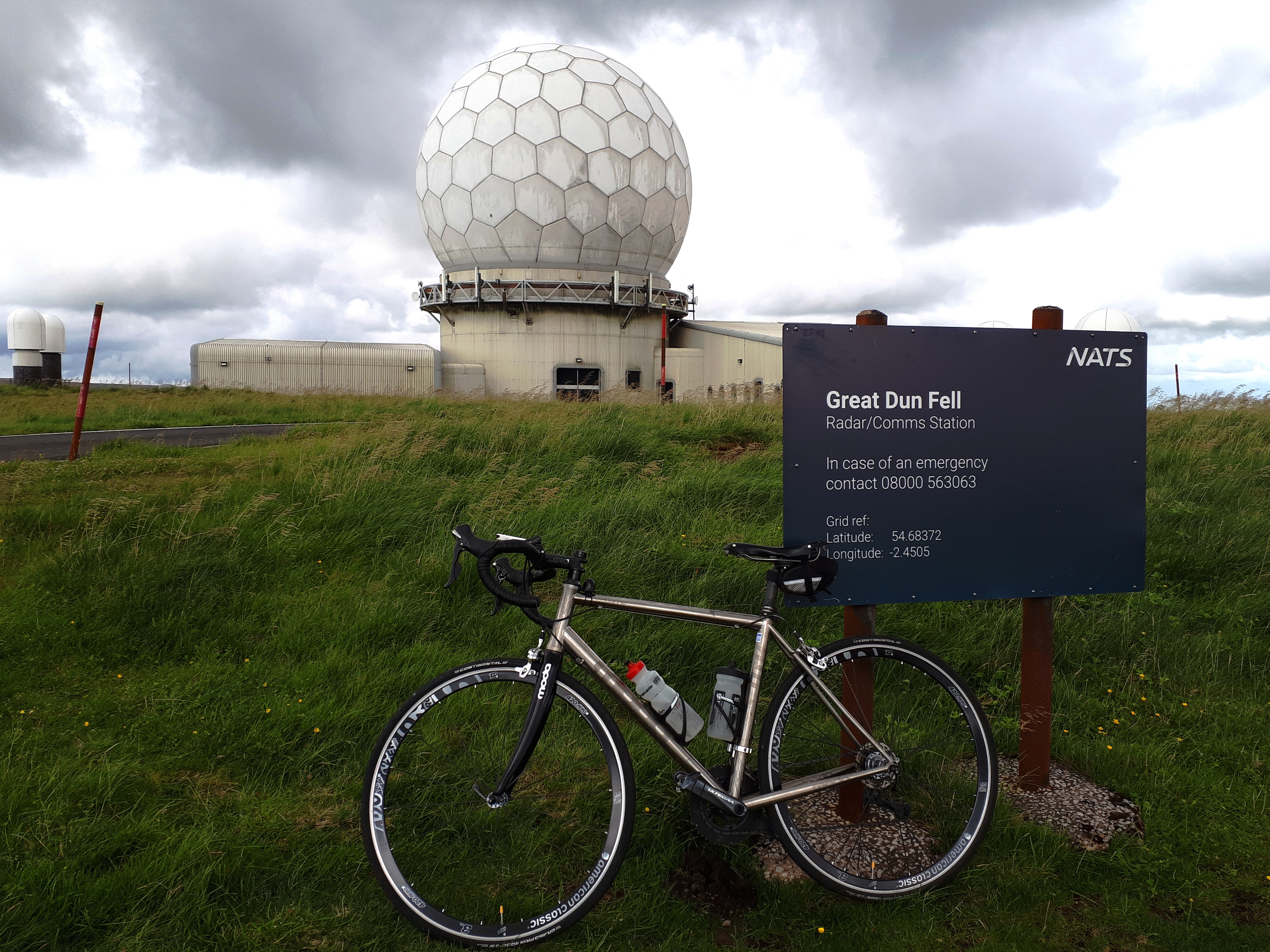
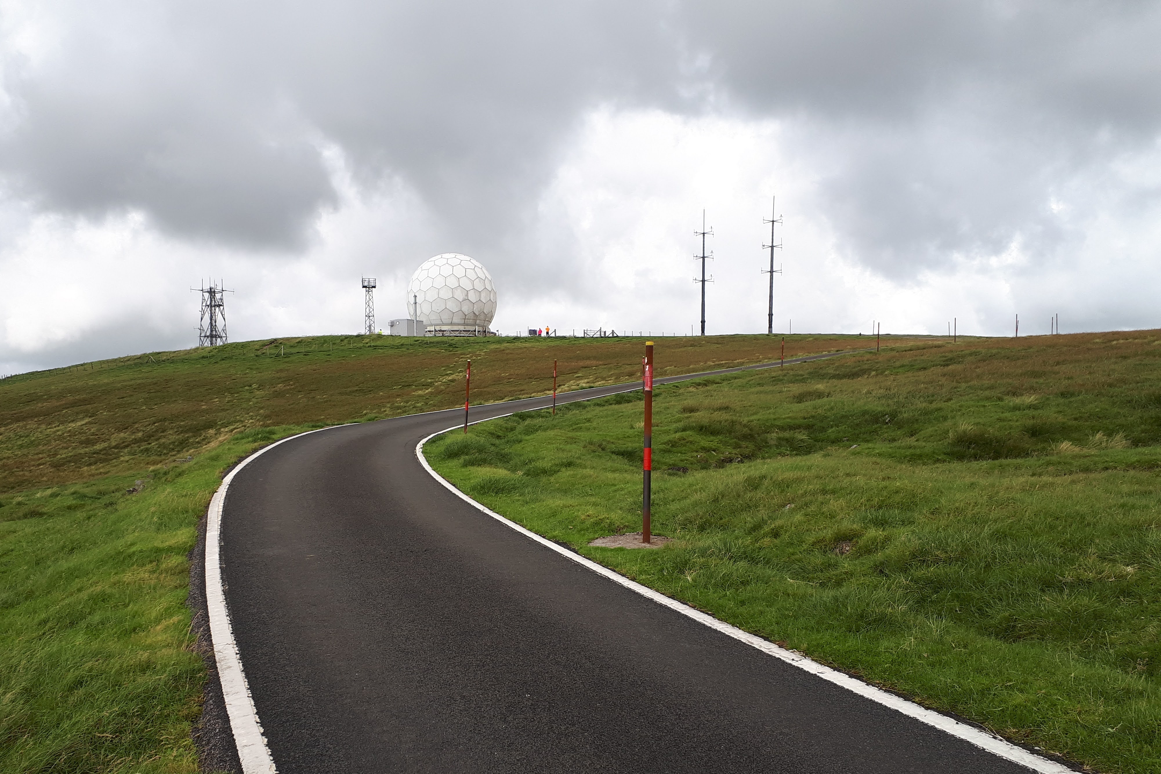
And the descent? Not as terrifying as I’d anticipated. It’s a great surface and no cars to worry about. This is our reward on a mountain like this one, but it’s not as fast as I’d like. Very steep, very narrow, and, surprise, surprise it was stonkingly windy up the top too. The descent route was the same as going up, since there’s only one road up and down – it stops at the radar station and becomes just a walker’s path. A few hardy Pennine-wayers were headed up there.
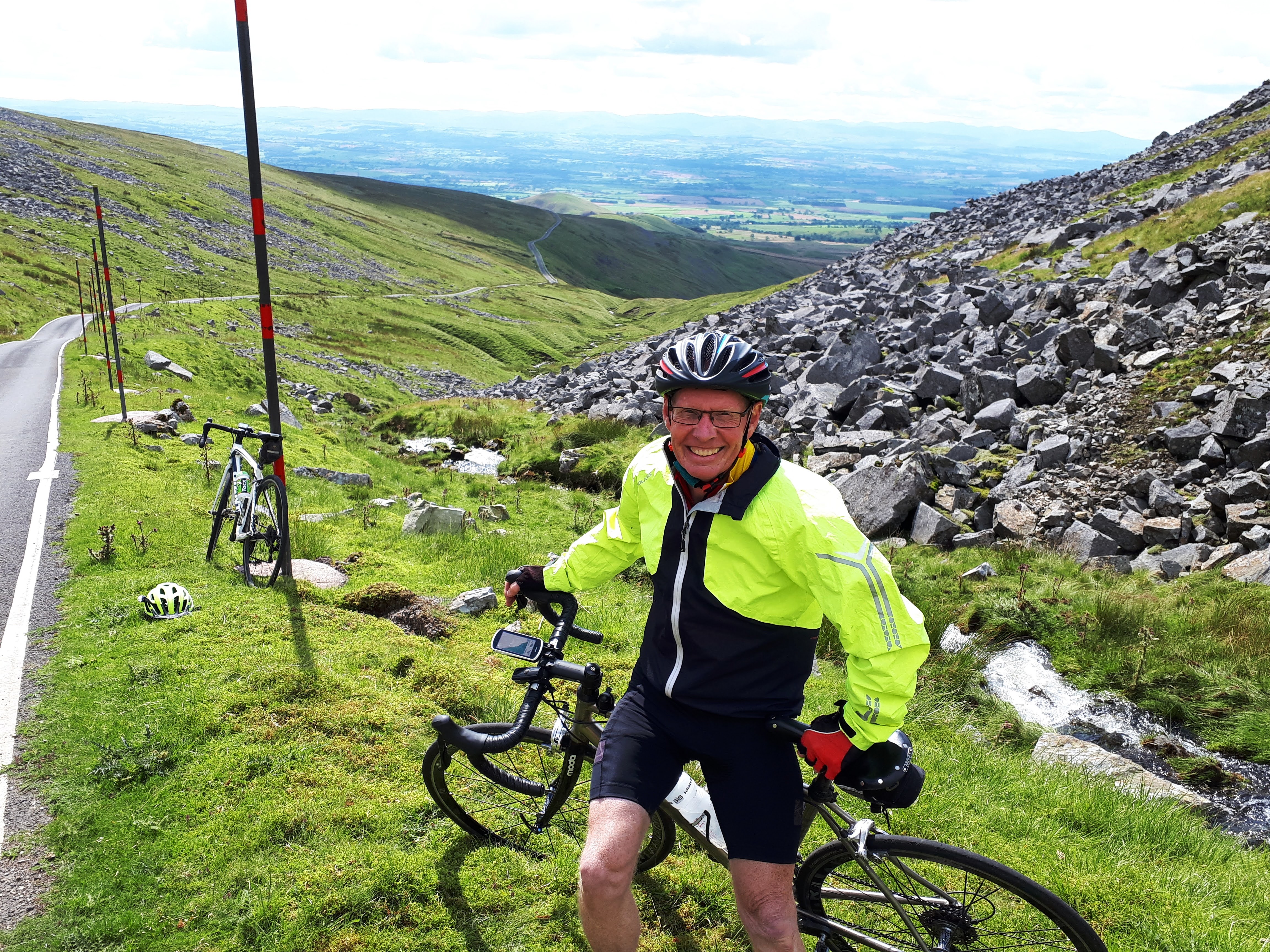
The climb started at the village of Knock. I think that’s why I was humming, “Knock, knock, knocking on heaven’s door” on the way up. Perhaps quite apt as the only building of note on the whole route, is the Knock Christian Centre, which oddly seemed to only house Indian families today. When they saw sheep on the road they were as excited as kids at Christmas! We weren’t, especially on the descent.

Interesting route back to the car too, including passing right through the Warcop Military Range. We’re not 100% sure we should even have been there at all; what do red flags signify anyway? We did hear small arms fire, and passed loads of “Danger”, “Unexploded Ordnance” and “Laser Hazard” signs. We did see one soldier just before we left the Range, but he had no guns and was far too “big boned” to be any threat.
So, that’s the highest done. What’s next? The longest climb in Britain is in Yorkshire. Watch this space.